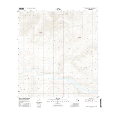
2016 Map of Talkeetna Mountains D-2 SW
USGS Topo · Published 2016About this map
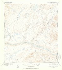
The Susitna River carves a massive, winding path through the heart of the Matanuska-Susitna region, as documented in this 2016 survey. This specific quadrangle captures a remote section of the river valley where it meets significant tributaries, most notably Kosina Cr entering from the south and Jay Creek—also labeled as Jay Cr—joining from the north. The terrain is defined by extreme elevation changes, with the river floor sitting at the base of steep mountainous slopes that reach into the high ridges of the Talkeetna range. This 2016 edition, produced by the U.S. Geological Survey, reflects the modern topographic state of this wilderness area, providing an essential record of the natural hydrology and drainage patterns for researchers and outdoorsmen tracking the landscape's evolution.
Find a feature on this map
8 named features on this map. Tap any name to fly to it.
Don’t see what you’re looking for? This feature index may not catch every label — zoom into the map to look around manually.
Map Details
Editions of this 2016 Talkeetna Mountains D-2 SW Map
This is the sole edition of this map. No revisions or reprints were ever made.
Other maps of this area

1950 · Talkeetna Mountains
USGS Topo · 1:250,000
1951 · Talkeetna Mountains C-2
USGS Topo · 1:63,360
1951 · Talkeetna Mountains D-2
USGS Topo · 1:63,360
1951 · Talkeetna Mountains D-3
USGS Topo · 1:63,360
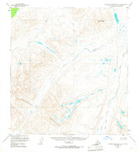
1951 · Talkeetna Mountains C-3
USGS Topo · 1:63,360
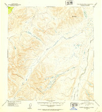
1952 · Talkeetna Mountains C-3
USGS Topo · 1:63,360
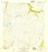
1952 · Talkeetna Mountains C-2
USGS Topo · 1:63,360
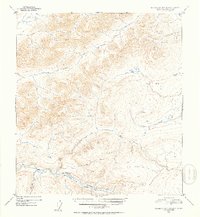
1952 · Talkeetna Mountains D-2
USGS Topo · 1:63,360
1953 · Talkeetna Mountains D-3
USGS Topo · 1:63,360

1954 · Talkeetna Mountains
USGS Topo · 1:250,000