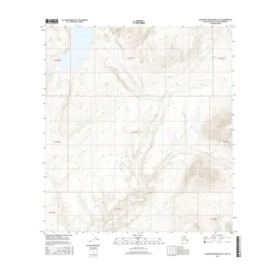
2016 Map of Talkeetna Mountains D-3 NE
USGS Topo · Published 2016About this map
Watana Creek and Delusion Cr define the hydrological landscape of this sub-arctic terrain, where steep-walled valleys and elevated plateaus dominate. The map documents the intricate Public Land Survey System grid, showing the intersection of multiple township and range lines including t33n r7e and t22s r3w. This modern 2016 survey illustrates a largely unpopulated wilderness, focusing on the natural topography and drainage patterns characteristic of the Matanuska-Susitna region. The detailed elevation contours reveal the complex relief as water moves through the Watana Creek drainage basin, providing an essential record for those studying the physical geography or land management history of this specific portion of the Talkeetna Mountains.
Find a feature on this map
12 named features on this map. Tap any name to fly to it.
Don’t see what you’re looking for? This feature index may not catch every label — zoom into the map to look around manually.
Map Details
Editions of this 2016 Talkeetna Mountains D-3 NE Map
This is the sole edition of this map. No revisions or reprints were ever made.
Other maps of this area

1950 · Talkeetna Mountains
USGS Topo · 1:250,000
1950 · Healy A-3
USGS Topo · 1:63,360
1951 · Healy
USGS Topo · 1:250,000
1951 · Talkeetna Mountains D-2
USGS Topo · 1:63,360
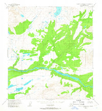
1951 · Talkeetna Mountains D-3
USGS Topo · 1:63,360
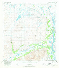
1951 · Healy A-2
USGS Topo · 1:63,360
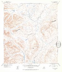
1952 · Healy A-3
USGS Topo · 1:63,360
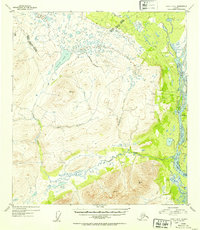
1952 · Healy A-2
USGS Topo · 1:63,360
1952 · Talkeetna Mountains D-2
USGS Topo · 1:63,360
1953 · Talkeetna Mountains D-3
USGS Topo · 1:63,360