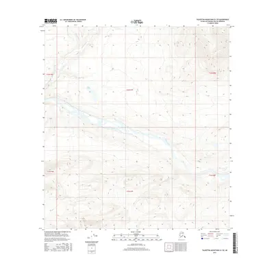
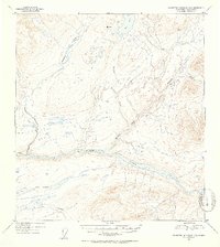
2016 Map of Talkeetna Mountains D-3 SE
USGS Topo · Published 2016About this map
Susitna River dominates the central landscape of this wilderness survey, winding through the heart of the Talkeetna Mountains region. The hydrology of the area is further defined by Watana Creek and Delusion Cr, which drain the surrounding highlands toward the main river channel. Sally Lake sits as a distinct interior water body north of the river, marking a break in the terrain. This map captures the intricate topographic detail of the Matanuska-Susitna Borough, highlighting the complex drainage patterns and elevation changes across the t32n r7e and t31n r7e townships. The absence of roads or developed settlements underscores the remote, wild character of this Alaskan interior during the mid-2010s.
Find a feature on this map
10 named features on this map. Tap any name to fly to it.
Don’t see what you’re looking for? This feature index may not catch every label — zoom into the map to look around manually.
Map Details
Editions of this 2016 Talkeetna Mountains D-3 SE Map
This is the sole edition of this map. No revisions or reprints were ever made.
Other maps of this area

1950 · Talkeetna Mountains
USGS Topo · 1:250,000
1951 · Talkeetna Mountains C-2
USGS Topo · 1:63,360
1951 · Talkeetna Mountains D-2
USGS Topo · 1:63,360
1951 · Talkeetna Mountains D-3
USGS Topo · 1:63,360
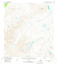
1951 · Talkeetna Mountains C-3
USGS Topo · 1:63,360
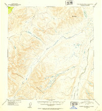
1952 · Talkeetna Mountains C-3
USGS Topo · 1:63,360
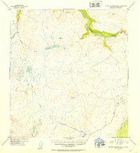
1952 · Talkeetna Mountains C-2
USGS Topo · 1:63,360
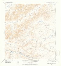
1952 · Talkeetna Mountains D-2
USGS Topo · 1:63,360
1953 · Talkeetna Mountains D-3
USGS Topo · 1:63,360

1954 · Talkeetna Mountains
USGS Topo · 1:250,000