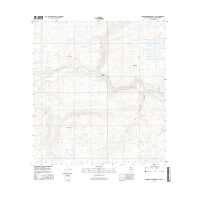
2016 Map of Talkeetna Mountains D-5 SW
USGS Topo · Published 2016About this map
Susitna River carves a dramatic path through this Matanuska-Susitna interior, where the powerful water flows through the geographically striking Devils Canyon. This 2016 survey documents a landscape dominated by the river's hydrology and the surrounding elevation, with Portage Creek feeding into the main channel from the north. The map details the complex terrain of the Talkeetna Mountains region, showing the township and range boundaries of t32n r1w, t32n r1e, t31n r1w, and t31n r1e. This specific section of the river is known for its steep gradients and significant water volume, creating a natural bottleneck that has historically influenced travel and navigation through the Alaskan wilderness.
Find a feature on this map
7 named features on this map. Tap any name to fly to it.
Don’t see what you’re looking for? This feature index may not catch every label — zoom into the map to look around manually.
Map Details
Editions of this 2016 Talkeetna Mountains D-5 SW Map
This is the sole edition of this map. No revisions or reprints were ever made.
Other maps of this area
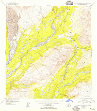
1949 · Talkeetna Mountains D-6
USGS Topo · 1:63,360
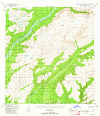
1949 · Talkeetna Mountains C-6
USGS Topo · 1:63,360

1950 · Talkeetna Mountains
USGS Topo · 1:250,000
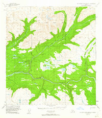
1950 · Talkeetna Mountains D-5
USGS Topo · 1:63,360
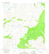
1950 · Talkeetna Mountains C-5
USGS Topo · 1:63,360
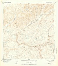
1951 · Talkeetna Mountains D-5
USGS Topo · 1:63,360
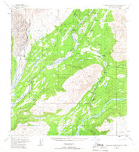
1951 · Talkeetna Mountains D-6
USGS Topo · 1:63,360
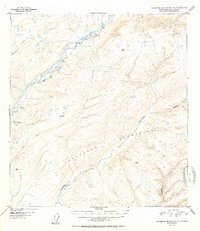
1952 · Talkeetna Mountains C-6
USGS Topo · 1:63,360
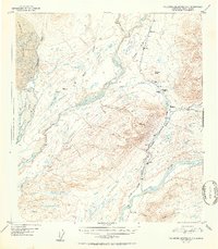
1952 · Talkeetna Mountains D-6
USGS Topo · 1:63,360
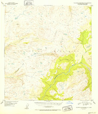
1952 · Talkeetna Mountains C-5
USGS Topo · 1:63,360