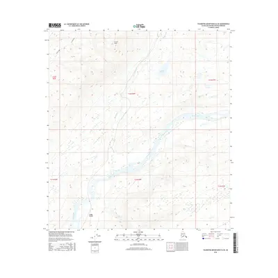
2016 Map of Talkeetna Mountains D-6 SE
USGS Topo · Published 2016About this map
The Susitna River carves a broad valley through the center of this terrain, joined by the Indian River and several smaller tributaries. This 2016 survey captures a landscape defined by significant elevation changes, ranging from the river bottomlands to the heights of K'esugi Ridge in the northwest. Near the southern confluence of the main river and Gold Cr, the small settlement of Gold Creek serves as a lone human outpost in an otherwise unpopulated mountain wilderness. Water features such as Miami Lake and Salmon Cr are scattered across the higher plateaus, illustrating the drainage patterns that feed into the larger river systems. This map is essential for understanding the remote topography of the Matanuska-Susitna region, where infrastructure is minimal and the terrain is dominated by natural waterways and steep ridges.
Find a feature on this map
13 named features on this map. Tap any name to fly to it.
Don’t see what you’re looking for? This feature index may not catch every label — zoom into the map to look around manually.
Map Details
Editions of this 2016 Talkeetna Mountains D-6 SE Map
This is the sole edition of this map. No revisions or reprints were ever made.
Other maps of this area
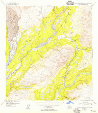
1949 · Talkeetna Mountains D-6
USGS Topo · 1:63,360
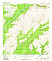
1949 · Talkeetna Mountains C-6
USGS Topo · 1:63,360

1950 · Talkeetna Mountains
USGS Topo · 1:250,000
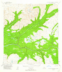
1950 · Talkeetna Mountains D-5
USGS Topo · 1:63,360
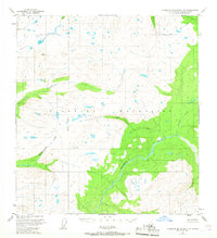
1950 · Talkeetna Mountains C-5
USGS Topo · 1:63,360
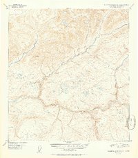
1951 · Talkeetna Mountains D-5
USGS Topo · 1:63,360
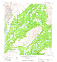
1951 · Talkeetna Mountains D-6
USGS Topo · 1:63,360
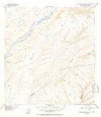
1952 · Talkeetna Mountains C-6
USGS Topo · 1:63,360
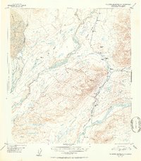
1952 · Talkeetna Mountains D-6
USGS Topo · 1:63,360
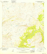
1952 · Talkeetna Mountains C-5
USGS Topo · 1:63,360