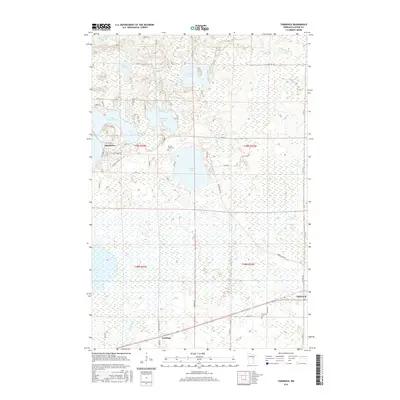
2016 Map of Tamarack
USGS Topo · Published 2016About this map
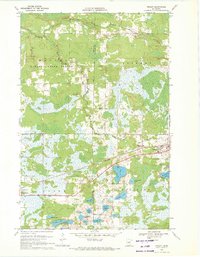
Tamarack and the small settlement of Grayling anchor this 2016 survey of eastern Aitkin County, where the landscape is defined by a dense network of glacial lakes and river systems. To the west, the shores of Lake Minnewawa and the smaller Sheshebee community indicate a region shaped by both seasonal recreation and long-standing rural residences. The terrain is notably low-lying, with extensive wetlands surrounding the Tamarack River in the northeast and the Sandy River to the south.
Find a feature on this map
33 named features on this map. Tap any name to fly to it.
Don’t see what you’re looking for? This feature index may not catch every label — zoom into the map to look around manually.
Map Details
Editions of this 2016 Tamarack Map
This is the sole edition of this map. No revisions or reprints were ever made.
Other maps of this area

1953 · Duluth
USGS Topo · 1:250,000

1958 · Duluth
USGS Topo · 1:250,000
1969 · Automba
USGS Topo · 1:24,000
1969 · Lawler
USGS Topo · 1:24,000
1970 · Mc Gregor
USGS Topo · 1:24,000
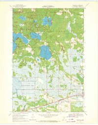
1970 · Tamarack
USGS Topo · 1:24,000
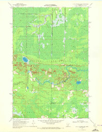
1970 · Little Prairie Lake
USGS Topo · 1:24,000
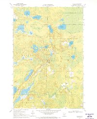
1970 · Balsam
USGS Topo · 1:24,000
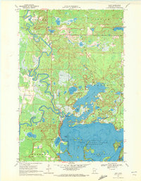
1970 · Libby
USGS Topo · 1:24,000
1970 · Wright
USGS Topo · 1:24,000