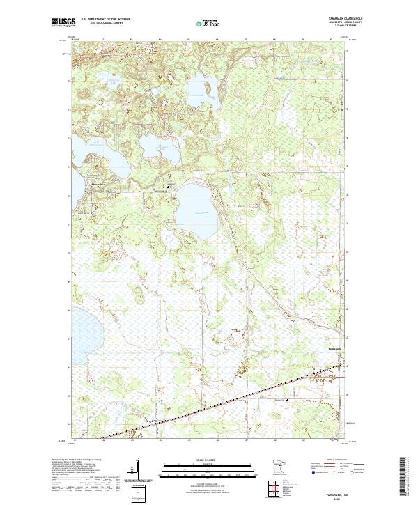
2022 Map of Tamarack
USGS Topo · Published 2022About this map
Tamarack anchors the southeastern corner of this Aitkin County landscape, situated where the Tamarack River flows near the intersection of several local routes like Kestrel Ave. The area is defined by a dense network of lakes and wetlands characteristic of northern Minnesota's glacial topography. To the northwest, the settlement of Sheshebee lies along the shores of Lake Minnewawa, while Grayling is positioned further south near the winding path of the Sandy River.
Find a feature on this map
56 named features on this map. Tap any name to fly to it.
Don’t see what you’re looking for? This feature index may not catch every label — zoom into the map to look around manually.
Map Details
Editions of this 2022 Tamarack Map
This is the sole edition of this map. No revisions or reprints were ever made.
Other maps of this area

1953 · Duluth
USGS Topo · 1:250,000

1958 · Duluth
USGS Topo · 1:250,000

1969 · Automba
USGS Topo · 1:24,000

1969 · Lawler
USGS Topo · 1:24,000

1970 · Mc Gregor
USGS Topo · 1:24,000

1970 · Tamarack
USGS Topo · 1:24,000

1970 · Little Prairie Lake
USGS Topo · 1:24,000

1970 · Balsam
USGS Topo · 1:24,000

1970 · Libby
USGS Topo · 1:24,000

1970 · Wright
USGS Topo · 1:24,000