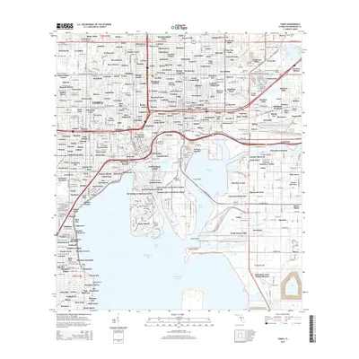
2015 Map of Tampa
USGS Topo · Published 2015About this map
The Hillsborough River flows through the heart of this urban landscape, where the campus of The Univ of Tampa stands near the historic waterfront. This modern survey illustrates the complex maritime and industrial network of the city, dominated by the Ybor Channel, Sparkman Channel, and the vast expanse of Hillsborough Bay. The mapping of cemetery districts is particularly dense in the northeastern quadrant, featuring Myrtle Hill Cem, Orange Hill Cem, and the Garden of Memories Cem.
Find a feature on this map
304 named features on this map. Tap any name to fly to it.
Don’t see what you’re looking for? This feature index may not catch every label — zoom into the map to look around manually.
Map Details
Editions of this 2015 Tampa Map
This is the sole edition of this map. No revisions or reprints were ever made.
Other maps of this area

1921 · Tampa
USGS Topo · 1:62,500

1921 · St Petersburg
USGS Topo · 1:62,500

1943 · Gandy Bridge
USGS Topo · 1:31,680

1943 · Port Tampa
USGS Topo · 1:31,680

1943 · Thonotosassa
USGS Topo · 1:24,000

1944 · Sulphur Springs
USGS Topo · 1:31,680

1944 · Mango
USGS Topo · 1:31,680

1944 · Tampa
USGS Topo · 1:31,680

1944 · Thonotosassa
USGS Topo · 1:31,680

1944 · Balm
USGS Topo · 1:31,680