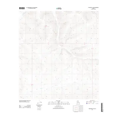
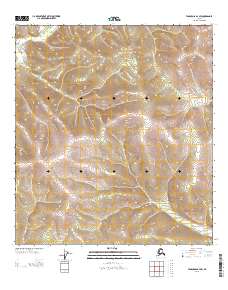
2013 Map of Tanacross A-2 NE
USGS Topo · Published 2013About this map
S Fork Ladue River flows through the northwestern reaches of this interior Alaskan landscape, which is defined by its dramatic topographic contours and a series of high ridges. The terrain rises significantly between the river and the southern drainage of Gardiner Cr, showcasing a remote wilderness where land boundaries are marked primarily by township and range lines rather than settlements or roads. The map captures the hydrological divide and natural drainage patterns of these two major waterways, which carve deep valleys into the hills. This 2013 representation reflects the enduring isolation of the Unorganized Borough, where physical geography remains the dominant feature of the territory.
Find a feature on this map
6 named features on this map. Tap any name to fly to it.
Don’t see what you’re looking for? This feature index may not catch every label — zoom into the map to look around manually.
Map Details
Editions of this 2013 Tanacross A-2 NE Map
This is the sole edition of this map. No revisions or reprints were ever made.
Other maps of this area

1949 · Tanacross
USGS Topo · 1:250,000

1950 · Tanacross
USGS Topo · 1:250,000
1952 · Tanacross A-1
USGS Topo · 1:63,360
1954 · Tanacross A-2
USGS Topo · 1:63,360
1955 · Tanacross A-2
USGS Topo · 1:63,360
1956 · Tanacross B-1
USGS Topo · 1:63,360
1956 · Tanacross B-2
USGS Topo · 1:63,360
1956 · Tanacross
USGS Topo · 1:250,000
1964 · Tanacross
USGS Topo · 1:250,000
2013 · Tanacross B-2 SW
USGS Topo · 1:25,000