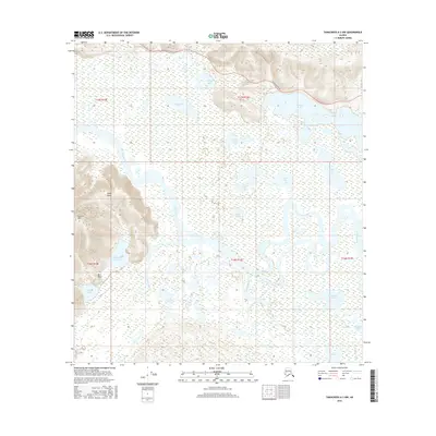
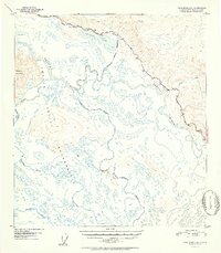
2016 Map of Tanacross A-3 NW
USGS Topo · Published 2016About this map
The Alaska Highway cuts across the northern landscape of this interior region, providing the primary overland route through a terrain dominated by the complex hydrology of the Tanana River valley. This 2016 survey illustrates a wild expanse where the Tetlin River and Kalutna River meander through low-lying wetlands, feeding into an intricate system of named water bodies like Big Lake, Swan Lake, and Willow Lake. To the west, the foothills of the Alaska Range rise toward Chisana Mtn, marking a sharp transition from the river flats to more elevated terrain. Small landmarks such as Rock Point and the curiously named Fish Camp Lake suggest localized human activity and subsistence patterns within this vast network of lakes and sloughs.
Find a feature on this map
26 named features on this map. Tap any name to fly to it.
Don’t see what you’re looking for? This feature index may not catch every label — zoom into the map to look around manually.
Map Details
Editions of this 2016 Tanacross A-3 NW Map
This is the sole edition of this map. No revisions or reprints were ever made.
Other maps of this area
1948 · Tanacross A-3
USGS Topo · 1:63,360
1948 · Tanacross A-4
USGS Topo · 1:63,360
1948 · Tanacross B-3
USGS Topo · 1:63,360

1949 · Tanacross
USGS Topo · 1:250,000
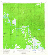
1949 · Tanacross B-4
USGS Topo · 1:63,360
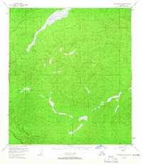
1949 · Tanacross B-3
USGS Topo · 1:63,360

1950 · Tanacross
USGS Topo · 1:250,000
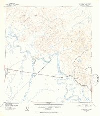
1951 · Tanacross B-4
USGS Topo · 1:63,360
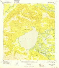
1952 · Tanacross A-4
USGS Topo · 1:63,360
1952 · Tanacross A-3
USGS Topo · 1:63,360