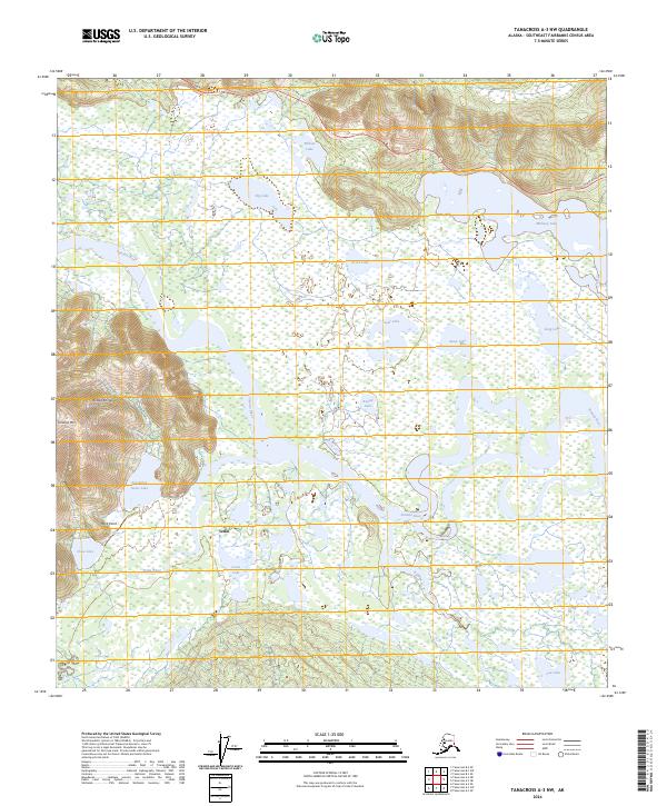
2024 Map of Tanacross A-3 NW
USGS Topo · Published 2024About this map
The Tanana River and its intricate network of lakes and wetlands dominate this portion of Southeast Fairbanks, where the Tetlin National Wildlife Refuge preserves the natural character of the river valley. The village of Tetlin sits at the junction of the Tetlin River and Louie Lake, serving as a primary settlement hub in a landscape defined by seasonal water patterns. To the northwest, the terrain rises sharply toward the Alaska Range, culminating in peaks like Chisana Mtn.
Find a feature on this map
25 named features on this map. Tap any name to fly to it.
Don’t see what you’re looking for? This feature index may not catch every label — zoom into the map to look around manually.
Map Details
Editions of this 2024 Tanacross A-3 NW Map
This is the sole edition of this map. No revisions or reprints were ever made.
Other maps of this area

1948 · Tanacross A-3
USGS Topo · 1:63,360

1948 · Tanacross A-4
USGS Topo · 1:63,360

1948 · Tanacross B-3
USGS Topo · 1:63,360

1949 · Tanacross
USGS Topo · 1:250,000

1949 · Tanacross B-4
USGS Topo · 1:63,360

1949 · Tanacross B-3
USGS Topo · 1:63,360

1950 · Tanacross
USGS Topo · 1:250,000

1951 · Tanacross B-4
USGS Topo · 1:63,360

1952 · Tanacross A-4
USGS Topo · 1:63,360

1952 · Tanacross A-3
USGS Topo · 1:63,360