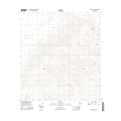
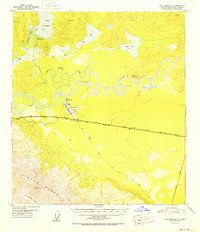
2016 Map of Tanacross A-4 NW
USGS Topo · Published 2016About this map
The Tok River meanders through a broad valley in the northwestern portion of this 2016 survey, creating a complex network of wetlands and oxbows before the terrain rises sharply to the east. The landscape is defined by the significant elevation changes of the Tetlin Hills and the northern reaches of the Alaska Range, where steep contour intervals reflect the transition from the river basin to high interior ridges. This map captures a remote section of the Unorganized Borough during a period of modern geospatial documentation, highlighting the natural drainage patterns that dominate the region. The lack of named settlements or infrastructure underscores the wilderness character of the area, where the braided path of the river serves as the primary geographical landmark amidst the surrounding peaks.
Find a feature on this map
7 named features on this map. Tap any name to fly to it.
Don’t see what you’re looking for? This feature index may not catch every label — zoom into the map to look around manually.
Map Details
Editions of this 2016 Tanacross A-4 NW Map
This is the sole edition of this map. No revisions or reprints were ever made.
Other maps of this area
1948 · Tanacross B-5
USGS Topo · 1:63,360
1948 · Tanacross A-4
USGS Topo · 1:63,360
1948 · Tanacross A-5
USGS Topo · 1:63,360

1949 · Tanacross
USGS Topo · 1:250,000
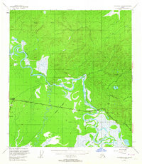
1949 · Tanacross B-4
USGS Topo · 1:63,360
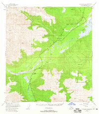
1949 · Tanacross A-5
USGS Topo · 1:63,360

1950 · Tanacross
USGS Topo · 1:250,000
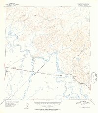
1951 · Tanacross B-4
USGS Topo · 1:63,360
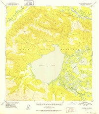
1952 · Tanacross A-4
USGS Topo · 1:63,360
1952 · Tanacross B-5
USGS Topo · 1:63,360