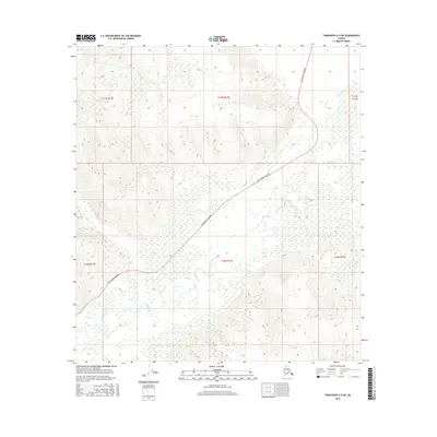
2016 Map of Tanacross A-5 NE
USGS Topo · Published 2016About this map
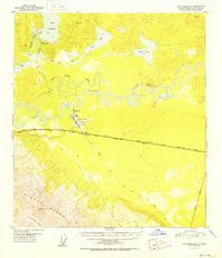
Tok Cutoff Highway strikes a diagonal path across this Interior Alaska landscape, bridging the gap between high ridges and the expansive wetland flats of the Tok River valley. This 2016 survey illustrates the intricate braided nature of the river as it winds through a basin dominated by marshlands and seasonal watercourses. To the northwest, the terrain rises into the foothills where Clearwater Cr descends from the highlands. The map provides a clear look at the Public Land Survey System grid, including boundaries for t16n r12e and t17n r12e, which define the township and range divisions of this remote territory. The lack of named settlements emphasizes the undeveloped character of the region, where the primary human footprint is the vital highway corridor connecting isolated Alaskan communities.
Find a feature on this map
9 named features on this map. Tap any name to fly to it.
Don’t see what you’re looking for? This feature index may not catch every label — zoom into the map to look around manually.
Map Details
Editions of this 2016 Tanacross A-5 NE Map
This is the sole edition of this map. No revisions or reprints were ever made.
Other maps of this area
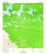
1948 · Tanacross B-5
USGS Topo · 1:63,360
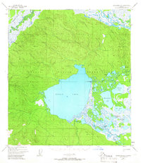
1948 · Tanacross A-4
USGS Topo · 1:63,360
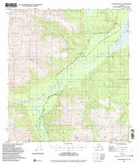
1948 · Tanacross A-5
USGS Topo · 1:63,360

1949 · Tanacross
USGS Topo · 1:250,000
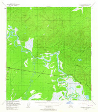
1949 · Tanacross B-4
USGS Topo · 1:63,360
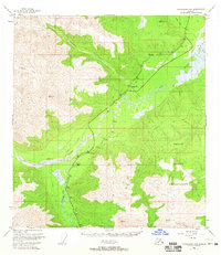
1949 · Tanacross A-5
USGS Topo · 1:63,360

1950 · Tanacross
USGS Topo · 1:250,000
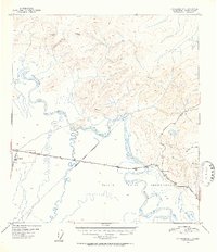
1951 · Tanacross B-4
USGS Topo · 1:63,360
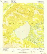
1952 · Tanacross A-4
USGS Topo · 1:63,360
1952 · Tanacross B-5
USGS Topo · 1:63,360