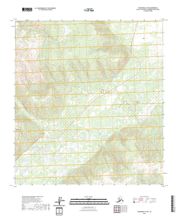
2024 Map of Tanacross A-5 NE
USGS Topo · Published 2024About this map
Tok serves as the primary hub in this interior Alaskan landscape, situated where the Tok Cutoff Highway meets the winding course of the Tok River. The area is defined by the transition from the high elevations of the Alaska Range in the southwest to the broad, braided river valley and wetlands that characterize the north. The presence of recreational corridors like the Nature Tr and the Tok River Lookout Trl suggests a land managed for both transit and local exploration. Along the western edge, Clearwater Creek flows through the steep terrain, illustrating the dramatic relief that dictates the path of human infrastructure in this part of the Southeast Fairbanks Census Area. This contemporary survey captures the enduring relationship between the community and the powerful river system that dominates the local geography.
Find a feature on this map
13 named features on this map. Tap any name to fly to it.
Don’t see what you’re looking for? This feature index may not catch every label — zoom into the map to look around manually.
Map Details
Editions of this 2024 Tanacross A-5 NE Map
This is the sole edition of this map. No revisions or reprints were ever made.
Other maps of this area

1948 · Tanacross B-5
USGS Topo · 1:63,360

1948 · Tanacross A-4
USGS Topo · 1:63,360

1948 · Tanacross A-5
USGS Topo · 1:63,360

1949 · Tanacross
USGS Topo · 1:250,000

1949 · Tanacross B-4
USGS Topo · 1:63,360

1949 · Tanacross A-5
USGS Topo · 1:63,360

1950 · Tanacross
USGS Topo · 1:250,000

1951 · Tanacross B-4
USGS Topo · 1:63,360

1952 · Tanacross A-4
USGS Topo · 1:63,360

1952 · Tanacross B-5
USGS Topo · 1:63,360