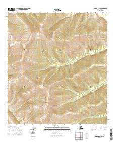
2015 Map of Tanacross B-1 SW
USGS Topo · Published 2015About this map
The interior of Southeast Fairbanks remains a landscape of high-altitude topography, defined by the Public Land Survey System grids in the Tanacross B-1 SW region. This 2015 survey highlights the structured divisions of the T18n R21e and T17n R21e townships, showcasing a terrain where contour lines closely trace steep elevations and deep drainages. Unlike maps of developed regions, this sheet focuses on the raw physical geography of the Alaskan wilderness. The absence of roads or established settlements emphasizes the remote character of this terrain, where the geometric precision of boundaries like T18n R20e and T18n R22e provides the only human-imposed framework upon the natural landforms. This document is a vital tool for understanding the modern topographic state of these interior uplands.
Find a feature on this map
6 named features on this map. Tap any name to fly to it.
Don’t see what you’re looking for? This feature index may not catch every label — zoom into the map to look around manually.
Map Details
Editions of this 2015 Tanacross B-1 SW Map
This is the sole edition of this map. No revisions or reprints were ever made.
Other maps of this area

1949 · Tanacross
USGS Topo · 1:250,000

1950 · Tanacross
USGS Topo · 1:250,000

1952 · Tanacross A-1
USGS Topo · 1:63,360

1954 · Tanacross A-2
USGS Topo · 1:63,360

1955 · Tanacross A-2
USGS Topo · 1:63,360
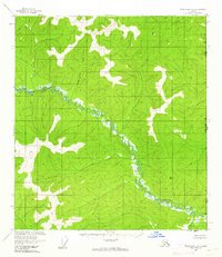
1956 · Tanacross B-1
USGS Topo · 1:63,360
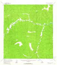
1956 · Tanacross B-2
USGS Topo · 1:63,360

1956 · Tanacross
USGS Topo · 1:250,000

1964 · Tanacross
USGS Topo · 1:250,000

2013 · Tanacross A-1 NW
USGS Topo · 1:25,000