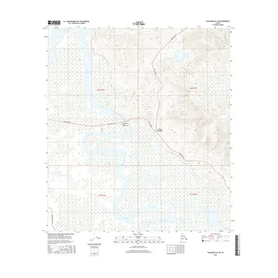
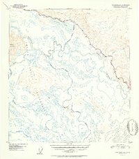
2016 Map of Tanacross B-4 SE
USGS Topo · Published 2016About this map
Tetlin Junction serves as the primary gateway where two of the state's most critical transit corridors meet. This northern crossroads marks the intersection of the Alaska Highway and the Taylor Highway, a junction that has historically channeled travelers and supplies toward the Yukon River and the Canadian border. The landscape is dominated by the winding path of the Tanana River, which cuts a wide channel through the wetlands and river flats of the Unorganized Borough. Crossing this massive waterway is the Tanana River Bridge (Number 505), a vital engineering link for northern travel. To the southwest, the Tetlin Access Road branches off toward more remote territory, while the northern reaches of the quadrangle include the headwaters and drainage of the Ladue River. The survey illustrates the complex relationship between the vast riverine floodplains and the thin lines of human infrastructure that connect this part of interior Alaska.
Find a feature on this map
11 named features on this map. Tap any name to fly to it.
Don’t see what you’re looking for? This feature index may not catch every label — zoom into the map to look around manually.
Map Details
Editions of this 2016 Tanacross B-4 SE Map
This is the sole edition of this map. No revisions or reprints were ever made.
Other maps of this area
1948 · Tanacross A-3
USGS Topo · 1:63,360
1948 · Tanacross A-4
USGS Topo · 1:63,360
1948 · Tanacross B-3
USGS Topo · 1:63,360

1949 · Tanacross
USGS Topo · 1:250,000
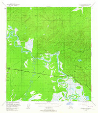
1949 · Tanacross B-4
USGS Topo · 1:63,360
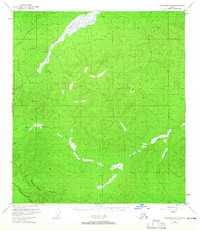
1949 · Tanacross B-3
USGS Topo · 1:63,360

1950 · Tanacross
USGS Topo · 1:250,000
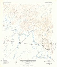
1951 · Tanacross B-4
USGS Topo · 1:63,360
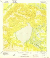
1952 · Tanacross A-4
USGS Topo · 1:63,360
1952 · Tanacross A-3
USGS Topo · 1:63,360