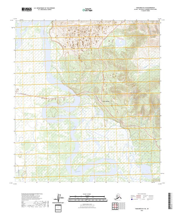
2024 Map of Tanacross B-4 SE
USGS Topo · Published 2024About this map
The confluence of the Alaska Highway and the Taylor Highway at Tetlin Junction serves as the primary gateway to the Yukon and interior Alaska. This northern landscape is defined by the massive, braided channels of the Tanana River, which sweeps across the southwestern portion of the sheet. The river's path is a labyrinth of shifting bars and wetlands, reflecting the active glacial drainage that shapes this part of the Southeast Fairbanks Census Area. To the northeast, the terrain rises into upland ridges, where the Ladue River begins its course and the Taylor Hwy MP4 Trl ventures into the high country. Small-scale access points like the Tetlin Access Road indicate the vital, albeit sparse, infrastructure required to navigate this subarctic wilderness where transport corridors strictly follow the contours of the river valleys and mountain passes.
Find a feature on this map
11 named features on this map. Tap any name to fly to it.
Don’t see what you’re looking for? This feature index may not catch every label — zoom into the map to look around manually.
Map Details
Editions of this 2024 Tanacross B-4 SE Map
This is the sole edition of this map. No revisions or reprints were ever made.
Other maps of this area

1948 · Tanacross A-3
USGS Topo · 1:63,360

1948 · Tanacross A-4
USGS Topo · 1:63,360

1948 · Tanacross B-3
USGS Topo · 1:63,360

1949 · Tanacross
USGS Topo · 1:250,000

1949 · Tanacross B-4
USGS Topo · 1:63,360

1949 · Tanacross B-3
USGS Topo · 1:63,360

1950 · Tanacross
USGS Topo · 1:250,000

1951 · Tanacross B-4
USGS Topo · 1:63,360

1952 · Tanacross A-4
USGS Topo · 1:63,360

1952 · Tanacross A-3
USGS Topo · 1:63,360