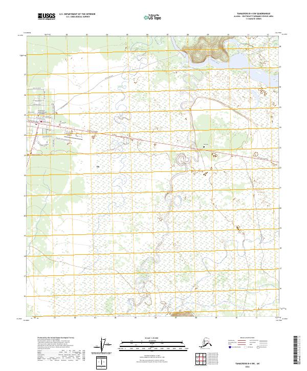
2024 Map of Tanacross B-4 SW
USGS Topo · Published 2024About this map
Tok serves as a vital interior junction where the Tok Cutoff Highway meets the Alaska Highway. This 2024 map documents the modern footprint of the settlement, showing a transition from the structured grid of streets like 8th Avenue and Sanford Drive to the winding course of the Tok River and the braided channels of the Tanana River to the north. Institutional development is centered along the highways, including the University of Alaska Fairbanks Tok Center and the Tok Courthouse. The surrounding landscape is defined by vast wetlands and the specialized infrastructure of the Tok Junction Airport. Local history is anchored by sites such as the Tok Cem and the original path of the Old River Road, illustrating how the community has grown around its role as a transportation hub.
Find a feature on this map
29 named features on this map. Tap any name to fly to it.
Don’t see what you’re looking for? This feature index may not catch every label — zoom into the map to look around manually.
Map Details
Editions of this 2024 Tanacross B-4 SW Map
This is the sole edition of this map. No revisions or reprints were ever made.
Other maps of this area

1948 · Tanacross B-5
USGS Topo · 1:63,360

1948 · Tanacross A-4
USGS Topo · 1:63,360

1948 · Tanacross A-5
USGS Topo · 1:63,360

1949 · Tanacross
USGS Topo · 1:250,000

1949 · Tanacross B-4
USGS Topo · 1:63,360

1949 · Tanacross A-5
USGS Topo · 1:63,360

1950 · Tanacross
USGS Topo · 1:250,000

1951 · Tanacross B-4
USGS Topo · 1:63,360

1952 · Tanacross A-4
USGS Topo · 1:63,360

1952 · Tanacross B-5
USGS Topo · 1:63,360