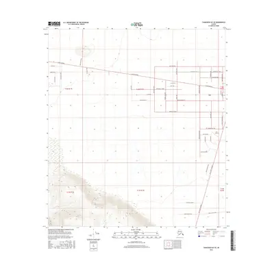
2016 Map of Tanacross B-5 SE
USGS Topo · Published 2016About this map
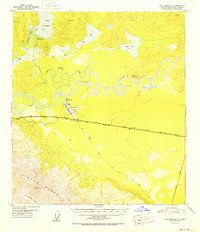
Tok serves as the central hub of this interior Alaska landscape, positioned where the Alaska Highway meets a network of local roads and trails. The settlement pattern here reflects the region's cultural heritage and logistical importance, with street names like Sled Dog Way, Mushers Way, and Sun Dog Trail hinting at the enduring significance of dog mushing and winter travel. Aviation infrastructure is anchored by the Tok Airport, a vital connection for this part of the Unorganized Borough.
Find a feature on this map
47 named features on this map. Tap any name to fly to it.
Don’t see what you’re looking for? This feature index may not catch every label — zoom into the map to look around manually.
Map Details
Editions of this 2016 Tanacross B-5 SE Map
This is the sole edition of this map. No revisions or reprints were ever made.
Other maps of this area
1948 · Tanacross B-5
USGS Topo · 1:63,360
1948 · Tanacross A-4
USGS Topo · 1:63,360
1948 · Tanacross A-5
USGS Topo · 1:63,360

1949 · Tanacross
USGS Topo · 1:250,000
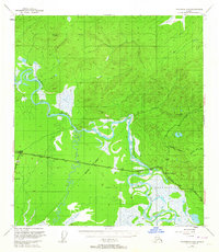
1949 · Tanacross B-4
USGS Topo · 1:63,360
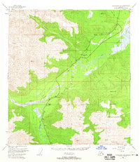
1949 · Tanacross A-5
USGS Topo · 1:63,360

1950 · Tanacross
USGS Topo · 1:250,000
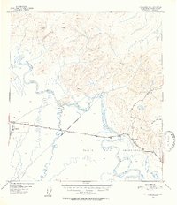
1951 · Tanacross B-4
USGS Topo · 1:63,360
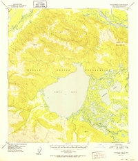
1952 · Tanacross A-4
USGS Topo · 1:63,360
1952 · Tanacross B-5
USGS Topo · 1:63,360