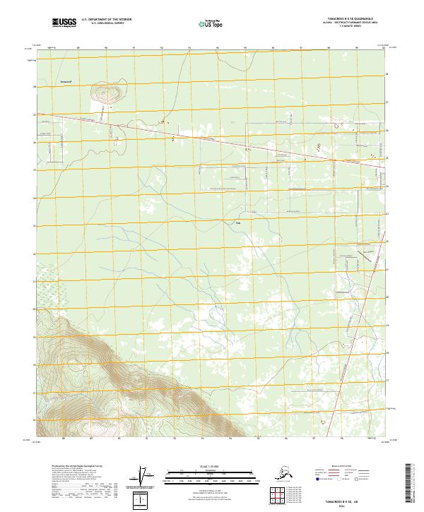
2024 Map of Tanacross B-5 SE
USGS Topo · Published 2024About this map
Tok serves as a central junction where the Alaska Highway meets a network of local roads and paths, illustrating the modern layout of this Interior Alaska hub. The landscape is defined by its transition from the valley floor to the rising elevations of the Mentasta mountains in the south. Local transit and naming conventions reflect the region's heritage and environment, with routes like the Mackenzie Trail, Sun Dog Trail, and Sourdough Lane West branching away from the main thoroughfare. North of the highway, the settlement of Tanacross sits near the river, while the Tok 2 Airport provides critical aviation access to the east. The map detail highlights how residential development has expanded along family-named streets such as Clark Drive and Mae's Way, showing a community rooted in its specific geography and transportation history.
Find a feature on this map
49 named features on this map. Tap any name to fly to it.
Don’t see what you’re looking for? This feature index may not catch every label — zoom into the map to look around manually.
Map Details
Editions of this 2024 Tanacross B-5 SE Map
This is the sole edition of this map. No revisions or reprints were ever made.
Other maps of this area

1948 · Tanacross B-5
USGS Topo · 1:63,360

1948 · Tanacross A-4
USGS Topo · 1:63,360

1948 · Tanacross A-5
USGS Topo · 1:63,360

1949 · Tanacross
USGS Topo · 1:250,000

1949 · Tanacross B-4
USGS Topo · 1:63,360

1949 · Tanacross A-5
USGS Topo · 1:63,360

1950 · Tanacross
USGS Topo · 1:250,000

1951 · Tanacross B-4
USGS Topo · 1:63,360

1952 · Tanacross A-4
USGS Topo · 1:63,360

1952 · Tanacross B-5
USGS Topo · 1:63,360