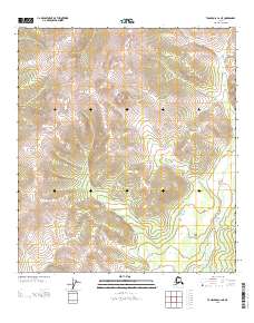
2013 Map of Tanacross C-2 NE
USGS Topo · Published 2013About this map
Prindle Volcano dominates the high-altitude interior of this Alaskan landscape, providing a rare geological focus point amidst a network of intricate contour lines and township boundaries. Located in the Southeast Fairbanks region, the terrain is characterized by steep elevations and the drainage patterns of the E Fork Dennison Fork, which meanders through the lower elevations in the southeastern portion of the sheet. The map reveals a land largely defined by its natural topography rather than human infrastructure, reflecting the wilderness character of the Tanacross area in the early twenty-first century. Researchers of Alaskan geology or environmental history will find the precise placement of volcanic and hydrologic features valuable for studying the region's physical geography.
Find a feature on this map
5 named features on this map. Tap any name to fly to it.
Don’t see what you’re looking for? This feature index may not catch every label — zoom into the map to look around manually.
Map Details
Editions of this 2013 Tanacross C-2 NE Map
This is the sole edition of this map. No revisions or reprints were ever made.
Other maps of this area

1949 · Tanacross
USGS Topo · 1:250,000

1950 · Tanacross
USGS Topo · 1:250,000

1956 · Tanacross C-1
USGS Topo · 1:63,360

1956 · Tanacross D-2
USGS Topo · 1:63,360

1956 · Tanacross C-2
USGS Topo · 1:63,360

1956 · Tanacross D-1
USGS Topo · 1:63,360

1956 · Tanacross
USGS Topo · 1:250,000

1964 · Tanacross
USGS Topo · 1:250,000
2013 · Tanacross D-2 SW
USGS Topo · 1:25,000
2013 · Tanacross C-2 SE
USGS Topo · 1:25,000