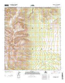
2013 Map of Tanacross C-3 NE
USGS Topo · Published 2013About this map
Mount Fairplay dominates the southwestern portion of this Alaskan interior landscape, rising as a prominent high point in the eastern portion of the Tanacross region. The topography is defined by the headwaters of Logging Cabin Cr, which drains the northern slopes and provides a clear example of the drainage patterns in this subarctic environment. The presence of a Winter Trl winding through the eastern sections reflects the seasonal nature of transportation in this remote corridor. Unlike the perennial roads found in more developed regions, these trails are essential infrastructure designed for travel when the ground is frozen, illustrating the historical and modern reliance on winter conditions for navigating the Tanacross hills.
Find a feature on this map
7 named features on this map. Tap any name to fly to it.
Don’t see what you’re looking for? This feature index may not catch every label — zoom into the map to look around manually.
Map Details
Editions of this 2013 Tanacross C-3 NE Map
This is the sole edition of this map. No revisions or reprints were ever made.
Other maps of this area

1949 · Tanacross
USGS Topo · 1:250,000

1950 · Tanacross
USGS Topo · 1:250,000

1956 · Tanacross D-3
USGS Topo · 1:63,360

1956 · Tanacross D-2
USGS Topo · 1:63,360

1956 · Tanacross C-3
USGS Topo · 1:63,360

1956 · Tanacross C-2
USGS Topo · 1:63,360

1956 · Tanacross
USGS Topo · 1:250,000

1964 · Tanacross
USGS Topo · 1:250,000
2013 · Tanacross D-2 SW
USGS Topo · 1:25,000
2013 · Tanacross C-3 SE
USGS Topo · 1:25,000