
1956 Map of Tanacross C-3
USGS Topo · Published 1962About this map
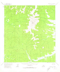
Mount Fairplay stands as the dominant topographical anchor of this mid-century sub-arctic interior, its high elevation surrounded by the permafrost-influenced landforms of the Alaska Range foothills. The Taylor Highway provides the primary corridor through this landscape, marking a vital transportation link established in the early 1950s to connect the Yukon River region with the outside world. Lower elevations are characterized by the presence of pingos and numerous cabins that suggest a network of seasonal activity or remote homesteading typical of the era. The Dennison Fork and Cabin Creek drain the terrain, while several segments of Winter Trail indicate the reliance on seasonal transport routes across the frozen ground when the highway became impassable. This survey documents the intersection of modern infrastructure and the traditional subsistence patterns of the Alaskan interior just before statehood.
Find a feature on this map
7 named features on this map. Tap any name to fly to it.
Don’t see what you’re looking for? This feature index may not catch every label — zoom into the map to look around manually.
Map Details
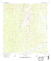
Editions of this 1956 Tanacross C-3 Map
3 editions found
Other maps of this area

1948 · Tanacross B-3
USGS Topo · 1:63,360

1949 · Tanacross
USGS Topo · 1:250,000

1949 · Tanacross B-4
USGS Topo · 1:63,360

1949 · Tanacross B-3
USGS Topo · 1:63,360

1950 · Tanacross
USGS Topo · 1:250,000

1951 · Tanacross B-4
USGS Topo · 1:63,360

1952 · Tanacross B-3
USGS Topo · 1:63,360

1956 · Tanacross D-3
USGS Topo · 1:63,360

1956 · Tanacross D-2
USGS Topo · 1:63,360

1956 · Tanacross C-2
USGS Topo · 1:63,360