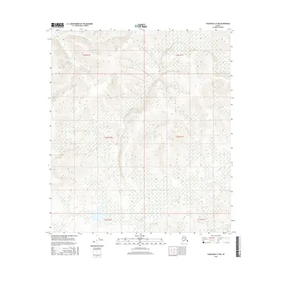
2016 Map of Tanacross C-5 NW
USGS Topo · Published 2016About this map
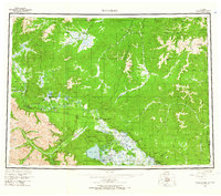
The interior Alaskan wilderness near the Mansfield Cr drainage is the central focus of this 2016 survey. This landscape is primarily defined by its topographic complexity rather than human settlement, serving as a record of the remote terrain within the Unorganized Borough. While modern mapping techniques from the U.S. Geological Survey provide precise contour data, the area remains largely undeveloped, characterized by the winding path of Mansfield Cr as it moves through the northeastern corner of the map. The absence of roads or named structures highlights the isolation of this region, where the primary identifiers are the legal land divisions such as T23N R10E and T22N R11E used for resource and land management in the vast Alaska interior.
Find a feature on this map
7 named features on this map. Tap any name to fly to it.
Don’t see what you’re looking for? This feature index may not catch every label — zoom into the map to look around manually.
Map Details
Editions of this 2016 Tanacross C-5 NW Map
This is the sole edition of this map. No revisions or reprints were ever made.
Other maps of this area

1949 · Tanacross
USGS Topo · 1:250,000

1950 · Tanacross
USGS Topo · 1:250,000
1954 · Tanacross C-6
USGS Topo · 1:63,360
1954 · Tanacross D-6
USGS Topo · 1:63,360
1955 · Tanacross C-6
USGS Topo · 1:63,360
1955 · Tanacross D-6
USGS Topo · 1:63,360
1956 · Tanacross C-5
USGS Topo · 1:63,360
1956 · Tanacross D-5
USGS Topo · 1:63,360
1956 · Tanacross
USGS Topo · 1:250,000
1964 · Tanacross
USGS Topo · 1:250,000