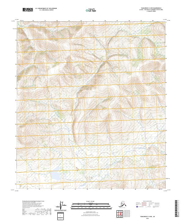
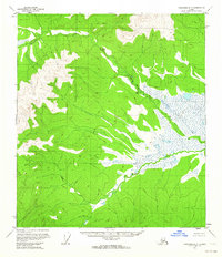
2024 Map of Tanacross C-5 NW
USGS Topo · Published 2024About this map
Mansfield Creek meanders through the southern portion of this interior landscape, marking a prominent corridor within the Southeast Fairbanks Census Area. This region, captured in a recent 2024 U.S. Geological Survey study, is defined by the complex relief of the Tanacross C-5 NW quadrangle, where the terrain shifts from low-lying wetlands to significant elevations. The map reveals the precise township and range divisions, such as t23n r10e and t22n r11e, which provide the cadastral framework for this remote Alaskan wilderness. While the area lacks developed settlements or roads, the hydrography and contour data offer a vital look at the natural drainage patterns and topographical features that have historically influenced access to this part of the Alaskan interior.
Find a feature on this map
7 named features on this map. Tap any name to fly to it.
Don’t see what you’re looking for? This feature index may not catch every label — zoom into the map to look around manually.
Map Details
Editions of this 2024 Tanacross C-5 NW Map
This is the sole edition of this map. No revisions or reprints were ever made.
Other maps of this area

1949 · Tanacross
USGS Topo · 1:250,000

1950 · Tanacross
USGS Topo · 1:250,000

1954 · Tanacross C-6
USGS Topo · 1:63,360

1954 · Tanacross D-6
USGS Topo · 1:63,360
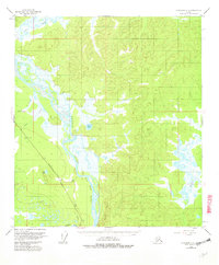
1955 · Tanacross C-6
USGS Topo · 1:63,360
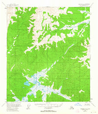
1955 · Tanacross D-6
USGS Topo · 1:63,360
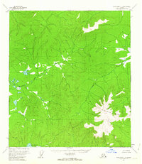
1956 · Tanacross C-5
USGS Topo · 1:63,360
1956 · Tanacross D-5
USGS Topo · 1:63,360

1956 · Tanacross
USGS Topo · 1:250,000

1964 · Tanacross
USGS Topo · 1:250,000