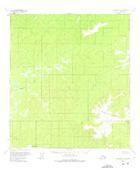
1956 Map of Tanacross C-5
USGS Topo · Published 1975About this map
Sixtymile Butte anchors the southeastern landscape of this interior terrain, where high-altitude contours define the drainage patterns of the region. The hydrology of the area is dominated by Mansfield Creek, which feeds into the southern waters of Lake Mansfield. This 1950s survey reflects a period when topographical data was being compiled via aerial photography, as noted by the Department of the Interior. Survey markers like VABM Mansfield provide specific horizontal and vertical control points used during the 1954 photogrammetric mapping. The absence of roads or trails indicates the isolation of this corner of the Tanacross quadrangle, where natural landmarks and water bodies served as the primary points of orientation for travelers and surveyors alike.
Find a feature on this map
4 named features on this map. Tap any name to fly to it.
Don’t see what you’re looking for? This feature index may not catch every label — zoom into the map to look around manually.
Map Details
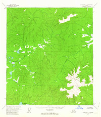
Editions of this 1956 Tanacross C-5 Map
2 editions found
Other maps of this area

1948 · Tanacross B-5
USGS Topo · 1:63,360

1949 · Tanacross
USGS Topo · 1:250,000

1949 · Tanacross B-4
USGS Topo · 1:63,360

1949 · Tanacross B-6
USGS Topo · 1:63,360

1950 · Tanacross
USGS Topo · 1:250,000

1951 · Tanacross B-6
USGS Topo · 1:63,360

1951 · Tanacross B-4
USGS Topo · 1:63,360

1952 · Tanacross B-5
USGS Topo · 1:63,360

1954 · Tanacross C-6
USGS Topo · 1:63,360

1954 · Tanacross D-6
USGS Topo · 1:63,360