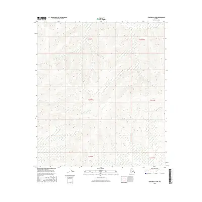
2016 Map of Tanacross C-6 NE
USGS Topo · Published 2016About this map
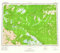
Surveyed sections within the T23n R9e and T23n R10e boundaries define this interior Alaskan landscape. This 2016 topographic study focuses on the intricate elevation data and drainage patterns of the Unorganized Borough, providing a precise record of the terrain across T22n R9e and T22n R10e. The map serves as a primary reference for the Public Land Survey System, illustrating township and range divisions including T21n R9e and T21n R10e. The lack of named settlements or infrastructure highlights the wild, undeveloped nature of this region during the early 21st century.
Find a feature on this map
6 named features on this map. Tap any name to fly to it.
Don’t see what you’re looking for? This feature index may not catch every label — zoom into the map to look around manually.
Map Details
Editions of this 2016 Tanacross C-6 NE Map
This is the sole edition of this map. No revisions or reprints were ever made.
Other maps of this area

1949 · Tanacross
USGS Topo · 1:250,000

1950 · Tanacross
USGS Topo · 1:250,000
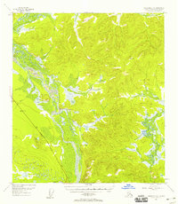
1954 · Tanacross C-6
USGS Topo · 1:63,360
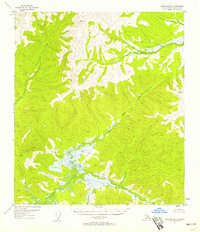
1954 · Tanacross D-6
USGS Topo · 1:63,360
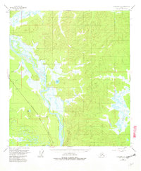
1955 · Tanacross C-6
USGS Topo · 1:63,360
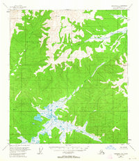
1955 · Tanacross D-6
USGS Topo · 1:63,360
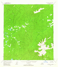
1956 · Tanacross C-5
USGS Topo · 1:63,360
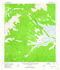
1956 · Tanacross D-5
USGS Topo · 1:63,360
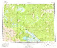
1956 · Tanacross
USGS Topo · 1:250,000
1964 · Tanacross
USGS Topo · 1:250,000