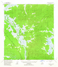
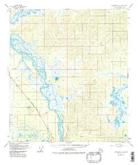
1955 Map of Tanacross C-6
USGS Topo · Published 1963About this map
Tanana River dominates the central landscape of this interior Alaska survey, where the river braids through a complex network of wetlands and islands. This mid-century record documents the area during a period of infrastructure development, most notably featuring the Above Ground Alaska Pipeline Highway and the Pipeline corridor following the river's western bank. The terrain is marked by significant topographical landmarks such as Tower Bluffs and the Tower Bluff Rapids, which characterize the volatile nature of the glacial river system. Numerous water bodies like Round Lake and Jan Lake are scattered across the flats, while tributaries including Billy Creek, Chief Creek, and Bear Creek drain the surrounding highlands. The southern edge of the map shows the confluence with the Robertson River, a major hydrological feature in the Tanacross region.
Find a feature on this map
19 named features on this map. Tap any name to fly to it.
Don’t see what you’re looking for? This feature index may not catch every label — zoom into the map to look around manually.
Map Details
Editions of this 1955 Tanacross C-6 Map
5 editions found
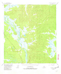
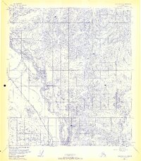
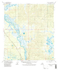
Other maps of this area

1948 · Tanacross B-5
USGS Topo · 1:63,360

1949 · Tanacross
USGS Topo · 1:250,000

1949 · Tanacross B-6
USGS Topo · 1:63,360

1950 · Tanacross
USGS Topo · 1:250,000

1950 · Mount Hayes
USGS Topo · 1:250,000

1951 · Mount Hayes
USGS Topo · 1:250,000

1951 · Tanacross B-6
USGS Topo · 1:63,360

1952 · Tanacross B-5
USGS Topo · 1:63,360

1954 · Mount Hayes B-1
USGS Topo · 1:63,360

1954 · Tanacross C-6
USGS Topo · 1:63,360