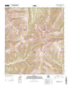
2013 Map of Tanacross D-2 SE
USGS Topo · Published 2013About this map
Big Timber Cr and its tributaries carve through the mountainous interior of the Southeast Fairbanks region in this recent topographic study. The landscape is defined by high-elevation ridgelines and the seasonal drainage patterns of Tom Paine Cr and Gold-Bar Cr. This map documents a wilderness area where the terrain remains largely untouched by modern infrastructure, preserving the natural hydrological network as it flows toward larger Alaskan river basins.
Find a feature on this map
42 named features on this map. Tap any name to fly to it.
Don’t see what you’re looking for? This feature index may not catch every label — zoom into the map to look around manually.
Map Details
Editions of this 2013 Tanacross D-2 SE Map
This is the sole edition of this map. No revisions or reprints were ever made.
Other maps of this area

1949 · Tanacross
USGS Topo · 1:250,000

1950 · Tanacross
USGS Topo · 1:250,000

1956 · Tanacross C-1
USGS Topo · 1:63,360

1956 · Tanacross D-2
USGS Topo · 1:63,360

1956 · Tanacross C-2
USGS Topo · 1:63,360

1956 · Tanacross D-1
USGS Topo · 1:63,360

1956 · Tanacross
USGS Topo · 1:250,000

1964 · Tanacross
USGS Topo · 1:250,000
2013 · Tanacross D-2 SW
USGS Topo · 1:25,000
2013 · Tanacross C-2 NW
USGS Topo · 1:25,000