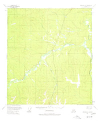
1956 Map of Tanacross D-3
USGS Topo · Published 1977About this map
Taylor Highway cuts a solitary path through the interior of Alaska, providing a critical land link across a landscape dominated by the complex hydrology of the West Fork Dennison Fork. This 1956 field-annotated map reveals a remote territory where transportation is defined by seasonal access, evidenced by the extensive Winter Trail systems that parallel and diverge from the primary road. The terrain is a vast network of drainage basins, including Taylor Creek and the southern reach of Logging Cabin Creek. The mapping of these waterways and trails reflects the post-war efforts of the Geological Survey to document the Alaskan interior using photogrammetric methods from 1954 and 1957 aerial photography. This specific survey captures the region just as modern infrastructure began to formalize established bush routes into the highway system seen today.
Find a feature on this map
6 named features on this map. Tap any name to fly to it.
Don’t see what you’re looking for? This feature index may not catch every label — zoom into the map to look around manually.
Map Details
Editions of this 1956 Tanacross D-3 Map
3 editions found
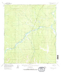
Other maps of this area

1899 · Fortymile
USGS Topo · 1:250,000

1949 · Tanacross
USGS Topo · 1:250,000

1950 · Tanacross
USGS Topo · 1:250,000

1951 · Eagle
USGS Topo · 1:250,000

1956 · Tanacross D-3
USGS Topo · 1:63,360

1956 · Tanacross D-2
USGS Topo · 1:63,360

1956 · Tanacross C-3
USGS Topo · 1:63,360

1956 · Tanacross C-2
USGS Topo · 1:63,360

1956 · Eagle A-2
USGS Topo · 1:63,360

1956 · Tanacross D-4
USGS Topo · 1:63,360