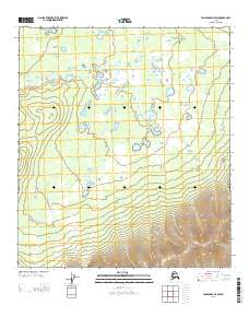
2013 Map of Tanacross D-4 SW
USGS Topo · Published 2013About this map
The Mosquito Fork dominates this interior Alaska landscape, carving a wandering course through a complex of wetlands and small lakes. In the northern sections of the quadrangle, the water meanders across relatively flat ground, while the southern terrain rises sharply into higher elevations marked by dense topographic contouring. This transition from the saturated lowlands of the river basin to the upland slopes suggests a wilderness environment defined by natural drainage and seasonal water levels. Wolf Cr feeds into the larger system from the west, contributing to a region where the geography is shaped almost entirely by these primary watercourses. This map provides a clear view of the hydrological patterns of the Southeast Fairbanks region before any major infrastructure or development altered the natural flow of the interior.
Find a feature on this map
5 named features on this map. Tap any name to fly to it.
Don’t see what you’re looking for? This feature index may not catch every label — zoom into the map to look around manually.
Map Details
Editions of this 2013 Tanacross D-4 SW Map
This is the sole edition of this map. No revisions or reprints were ever made.
Other maps of this area

1949 · Tanacross
USGS Topo · 1:250,000

1950 · Tanacross
USGS Topo · 1:250,000

1956 · Tanacross D-4
USGS Topo · 1:63,360
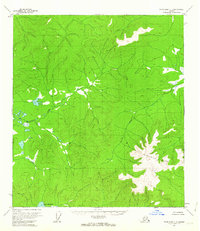
1956 · Tanacross C-5
USGS Topo · 1:63,360
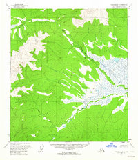
1956 · Tanacross D-5
USGS Topo · 1:63,360
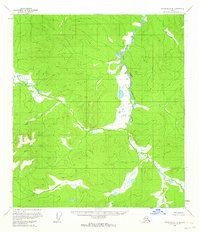
1956 · Tanacross C-4
USGS Topo · 1:63,360

1956 · Tanacross
USGS Topo · 1:250,000

1964 · Tanacross
USGS Topo · 1:250,000
2013 · Tanacross C-4 NE
USGS Topo · 1:25,000
2013 · Tanacross C-4 NW
USGS Topo · 1:25,000