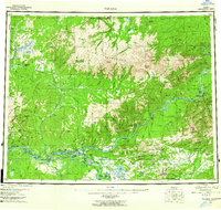
1956 Map of Tanana
USGS Topo · Published 1962About this map
The Yukon River and Tanana River converge at the heart of this mid-century survey, defining a landscape of riverine navigation and remote settlements. The town of Tanana sits prominently at this confluence, supported by the Tanana Airport and nearby Mission Hill. Downstream and into the interior, the map reveals specialized outposts and mining localities like American Eldorado, Tofty, and the hot-spring resort character of Manley Hot Springs.
Find a feature on this map
100 named features on this map. Tap any name to fly to it.
Don’t see what you’re looking for? This feature index may not catch every label — zoom into the map to look around manually.
Map Details
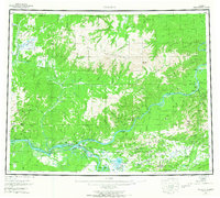
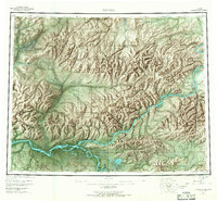
Editions of this 1956 Tanana Map
4 editions found

Other maps of this area

1945 · Livengood
USGS Topo · 1:250,000

1948 · Kantishna River
USGS Topo · 1:250,000

1950 · Fairbanks
USGS Topo · 1:250,000

1951 · Kantishna River
USGS Topo · 1:250,000

1951 · Ruby
USGS Topo · 1:250,000

1951 · Fairbanks
USGS Topo · 1:250,000

1951 · Hughes
USGS Topo · 1:250,000

1951 · Melozitna
USGS Topo · 1:250,000

1951 · Bettles
USGS Topo · 1:250,000

1951 · Tanana
USGS Topo · 1:250,000