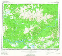
1956 Map of Tanana
USGS Topo · Published 1967About this map
Tanana sits at the strategic confluence of the Yukon River and the Tanana River, serving as a vital hub for river transportation and aviation in the Alaskan interior during the mid-1950s. The landscape is defined by the massive Ray Mountains to the north and the Aeolian Hills south of the Yukon, where the river narrows significantly through The Rapids. This survey captures the region when small settlements like Manley Hot Springs and Rampart maintained their roles as interior outposts, connected by a network of Winter Trails and Tractor Trails that crisscross the subarctic terrain. Local history is deeply rooted in the several marked burial sites, including the Native Cem and Mission Cem, reflecting the area's long-standing cultural importance. Mining activity persists in the hills, evidenced by a Placer Mine near Senatis Mtn and Tailings near the settlement of Eureka.
Find a feature on this map
209 named features on this map. Tap any name to fly to it.
Don’t see what you’re looking for? This feature index may not catch every label — zoom into the map to look around manually.
Map Details
Editions of this 1956 Tanana Map
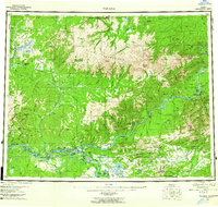
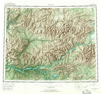
4 editions found

Other maps of this area

1945 · Livengood
USGS Topo · 1:250,000

1948 · Kantishna River
USGS Topo · 1:250,000

1950 · Fairbanks
USGS Topo · 1:250,000

1951 · Kantishna River
USGS Topo · 1:250,000

1951 · Ruby
USGS Topo · 1:250,000

1951 · Fairbanks
USGS Topo · 1:250,000

1951 · Hughes
USGS Topo · 1:250,000

1951 · Melozitna
USGS Topo · 1:250,000

1951 · Bettles
USGS Topo · 1:250,000

1951 · Tanana
USGS Topo · 1:250,000