
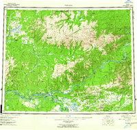
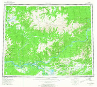
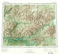
1956 Map of Tanana
USGS Topo · Published 1962About this map
The confluence of the Yukon River and Tanana River serves as the focal point of this mid-century interior Alaska survey, where the settlement of Tanana sits at the water's edge near Mission Hill. To the east, the historic mining district around Eureka and the community of Manley Hot Springs at the foot of Bean Ridge show the enduring infrastructure of early 20th-century resource extraction. The map documents a rugged landscape punctuated by the Ray Mountains and a series of prominent summits like Roughtop Mountain and Baldry Mountain.
Find a feature on this map
88 named features on this map. Tap any name to fly to it.
Don’t see what you’re looking for? This feature index may not catch every label — zoom into the map to look around manually.
Map Details
Editions of this 1956 Tanana Map
4 editions found
Other maps of this area

1945 · Livengood
USGS Topo · 1:250,000

1948 · Kantishna River
USGS Topo · 1:250,000

1950 · Fairbanks
USGS Topo · 1:250,000

1951 · Kantishna River
USGS Topo · 1:250,000

1951 · Ruby
USGS Topo · 1:250,000

1951 · Fairbanks
USGS Topo · 1:250,000

1951 · Hughes
USGS Topo · 1:250,000

1951 · Melozitna
USGS Topo · 1:250,000

1951 · Bettles
USGS Topo · 1:250,000

1951 · Tanana
USGS Topo · 1:250,000