1960 Map of Tanana
USGS Topo · Published 1984About this map
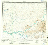
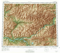
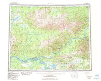
The confluence of the Yukon River and the Tanana River anchors this Interior Alaska landscape, where traditional river travel meets the early infrastructure of the 1950s and 1960s. The settlement of Tanana sits at this vital junction, marked by a post office and proximity to Mission Hill. To the east, the historic mining district around Eureka and Tofty is visible, featuring numerous placer mines and a network of seasonal trails. The map documents the presence of Native Cem sites and remote outposts like Rampart along the winding Yukon. Beyond the river valleys, the Ray Mountains rise toward the north, with Mt Henry Eakin and Mt Tozi serving as prominent landmarks. This survey also captures the early state of the Highway near Manley Hot Springs and the expansive boundaries of the Kanuti National Wildlife Refuge and Nowitna National Wildlife Refuge.
Find a feature on this map
171 named features on this map. Tap any name to fly to it.
Don’t see what you’re looking for? This feature index may not catch every label — zoom into the map to look around manually.
Map Details
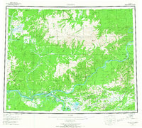
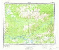
Editions of this 1960 Tanana Map
4 editions found
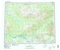
Historical Maps of Tanana Through Time
3 maps found