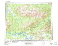
1960 Map of Tanana
USGS Topo · Published 1984About this map
The Yukon River and Tanana River converge near the settlement of Tanana, anchoring a landscape defined by interior Alaskan waterways and gold-era geography. This 1960 survey, updated in the early 1980s, details the remote corridor between the Ray Mountains and the Dugan Hills. The map traces the critical transportation routes of the era, from the Elliott Highway to the Winter Trail, providing a clear view of how these interior outposts were linked.
Find a feature on this map
140 named features on this map. Tap any name to fly to it.
Don’t see what you’re looking for? This feature index may not catch every label — zoom into the map to look around manually.
Map Details
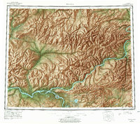
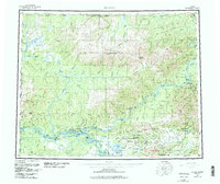
Editions of this 1960 Tanana Map
4 editions found

Other maps of this area

1945 · Livengood
USGS Topo · 1:250,000

1948 · Kantishna River
USGS Topo · 1:250,000

1950 · Fairbanks
USGS Topo · 1:250,000

1951 · Kantishna River
USGS Topo · 1:250,000

1951 · Ruby
USGS Topo · 1:250,000

1951 · Fairbanks
USGS Topo · 1:250,000

1951 · Hughes
USGS Topo · 1:250,000

1951 · Melozitna
USGS Topo · 1:250,000

1951 · Bettles
USGS Topo · 1:250,000

1951 · Tanana
USGS Topo · 1:250,000