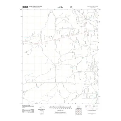
2011 Map of Taos Junction
USGS Topo · Published 2011About this map
Taos Junction serves as the focal point of this high-desert landscape, where the convergence of roadways and topographic markers defines the local geography. The map reveals a network of resource-related features essential for life in this arid region, including the Amador Windmill and several catchment basins such as Comanche Tank and Martinez Tank. Further south, the Goats Point Prospect indicates the historical interest in mineral exploration within the area’s geologic formations.
Find a feature on this map
28 named features on this map. Tap any name to fly to it.
Don’t see what you’re looking for? This feature index may not catch every label — zoom into the map to look around manually.
Map Details
Editions of this 2011 Taos Junction Map
This is the sole edition of this map. No revisions or reprints were ever made.
Other maps of this area

1918 · Abiquiu
USGS Topo · 1:125,000

1953 · Lyden
USGS Topo · 1:24,000

1953 · Velarde
USGS Topo · 1:24,000

1953 · Trampas
USGS Topo · 1:24,000

1953 · La Madera
USGS Topo · 1:24,000

1953 · Ojo Caliente
USGS Topo · 1:24,000

1953 · San Juan Pueblo
USGS Topo · 1:62,500

1954 · Raton
USGS Topo · 1:250,000

1954 · Aztec
USGS Topo · 1:250,000

1958 · Raton
USGS Topo · 1:250,000