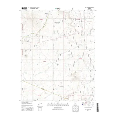
2013 Map of Taos Junction
USGS Topo · Published 2013About this map
Taos Junction sits on the high plateau of New Mexico, where the boundary between Taos County and Rio Arriba County runs through a landscape defined by volcanic landmarks and seasonal drainages. In this modern survey, the terrain is marked by significant topographical features such as the Comanche Rim and the prominent height of Cerro Azul. The area's dependence on water management is evident through numerous named collection points like Martinez Tank, Vibora Tank, and Sandlin Tank, which support the high-desert environment within the Carson National Forest.
Find a feature on this map
33 named features on this map. Tap any name to fly to it.
Don’t see what you’re looking for? This feature index may not catch every label — zoom into the map to look around manually.
Map Details
Editions of this 2013 Taos Junction Map
This is the sole edition of this map. No revisions or reprints were ever made.
Other maps of this area

1918 · Abiquiu
USGS Topo · 1:125,000

1953 · Lyden
USGS Topo · 1:24,000

1953 · Velarde
USGS Topo · 1:24,000

1953 · Trampas
USGS Topo · 1:24,000

1953 · La Madera
USGS Topo · 1:24,000

1953 · Ojo Caliente
USGS Topo · 1:24,000

1953 · San Juan Pueblo
USGS Topo · 1:62,500

1954 · Raton
USGS Topo · 1:250,000

1954 · Aztec
USGS Topo · 1:250,000

1958 · Raton
USGS Topo · 1:250,000