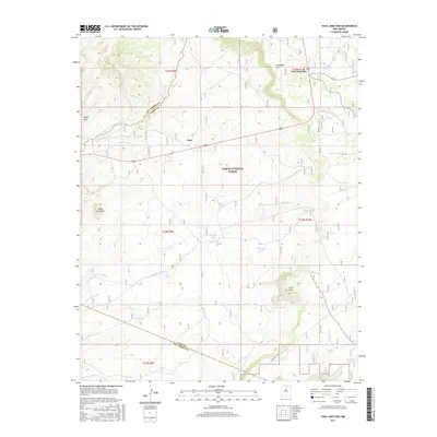
2017 Map of Taos Junction
USGS Topo · Published 2017About this map
Taos Junction sits at a critical topographic transition within the Carson National Forest, where the high plains meet the intricate drainage systems of the Rio Grande basin. The landscape is defined by its water management history, evidenced by a dense network of catchment features including Martínez Tank, McKenzie Tank, and Jose Tank. These landmarks, often named for local families or geographical features, tell a story of land use in a region where water is the primary architect of settlement.
Find a feature on this map
32 named features on this map. Tap any name to fly to it.
Don’t see what you’re looking for? This feature index may not catch every label — zoom into the map to look around manually.
Map Details
Editions of this 2017 Taos Junction Map
This is the sole edition of this map. No revisions or reprints were ever made.
Other maps of this area

1918 · Abiquiu
USGS Topo · 1:125,000

1953 · Lyden
USGS Topo · 1:24,000

1953 · Velarde
USGS Topo · 1:24,000

1953 · Trampas
USGS Topo · 1:24,000

1953 · La Madera
USGS Topo · 1:24,000

1953 · Ojo Caliente
USGS Topo · 1:24,000

1953 · San Juan Pueblo
USGS Topo · 1:62,500

1954 · Raton
USGS Topo · 1:250,000

1954 · Aztec
USGS Topo · 1:250,000

1958 · Raton
USGS Topo · 1:250,000