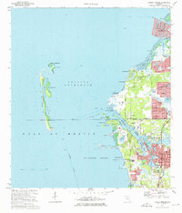
1973 Map of Tarpon Springs
USGS Topo · Published 1975About this map
The Anclote River serves as the focal point of this coastal landscape, winding through Tarpon Springs and separating the developing residential fingers of the mainland from the barrier chain of the Anclote Keys. In the early 1970s, the area reflects a significant transition from its traditional maritime roots toward suburban expansion, seen in the residential canal developments of Gulf Harbors and Holiday. The intricate waterways of Whitcomb Bayou, Kreamer Bayou, and Spring Bayou characterize the downtown core of Tarpon Springs, where the Seaboard Coast Line railroad and civic landmarks like City Hall and the Po anchor the community. Offshore, the Anclote Key State Recreation Area preserves the barrier islands, with a notable Lighthouse marking the southern tip of Anclote Key near the entrance to St Joseph Sound.
Find a feature on this map
69 named features on this map. Tap any name to fly to it.
Don’t see what you’re looking for? This feature index may not catch every label — zoom into the map to look around manually.
Map Details
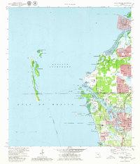
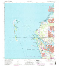
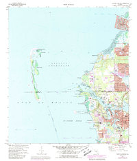
Editions of this 1973 Tarpon Springs Map
4 editions found
Other maps of this area

1943 · Dunedin
USGS Topo · 1:31,680

1943 · Tarpon Springs
USGS Topo · 1:31,680

1943 · Elfers
USGS Topo · 1:24,000

1943 · Oldsmar
USGS Topo · 1:24,000

1944 · Elfers
USGS Topo · 1:31,680

1944 · Oldsmar
USGS Topo · 1:31,680

1948 · Elfers
USGS Topo · 1:25,000

1954 · Port Richey
USGS Topo · 1:24,000

1955 · Plant City
USGS Topo · 1:250,000

1958 · Plant City
USGS Topo · 1:250,000