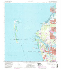
1973 Map of Tarpon Springs
USGS Topo · Published 1988About this map
Tarpon Springs serves as the focal point of this coastal study, where the intricate finger canals of residential developments meet the natural complexity of the Anclote River delta. The landscape reflects a mid-1970s balance between expanding coastal communities like Holiday and Beacon Square and the preserved marine environments of the Anclote Keys. Significant institutional and infrastructure presence is noted at the Anclote Missile Tracking Annex and the St Petersburg Jr College campus. The maritime character of the region is defined by the Intracoastal Waterway and various sheltered inlets such as Kreamer Bayou and Sponge Harbor, while the Lighthouse on the southern tip of the Anclote Key State Preserve stands as a primary navigational landmark. The mapping details the industrial and transport footprint of the Seaboard Coast Line railroad and a large Powerplant near Anclote.
Find a feature on this map
61 named features on this map. Tap any name to fly to it.
Don’t see what you’re looking for? This feature index may not catch every label — zoom into the map to look around manually.
Map Details
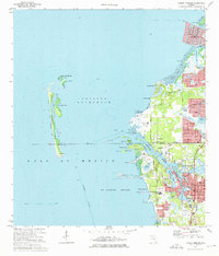
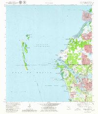
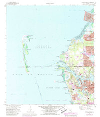
Editions of this 1973 Tarpon Springs Map
4 editions found
Other maps of this area

1943 · Dunedin
USGS Topo · 1:31,680

1943 · Tarpon Springs
USGS Topo · 1:31,680

1943 · Elfers
USGS Topo · 1:24,000

1943 · Oldsmar
USGS Topo · 1:24,000

1944 · Elfers
USGS Topo · 1:31,680

1944 · Oldsmar
USGS Topo · 1:31,680

1948 · Elfers
USGS Topo · 1:25,000

1954 · Port Richey
USGS Topo · 1:24,000

1955 · Plant City
USGS Topo · 1:250,000

1958 · Plant City
USGS Topo · 1:250,000