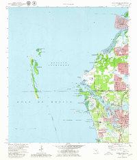
1973 Map of Tarpon Springs
USGS Topo · Published 1980About this map
Tarpon Springs stands as the primary hub of this 1970s coastal survey, revealing a landscape defined by its intricate bayous and the sponge-fishing heritage associated with the Anclote River. The map documents significant residential expansion in communities such as Gulf Harbors, Beacon Square, and Holiday, showing the conversion of coastal terrain into suburban developments. Along the shoreline, the Seaboard Coast Line railroad facilitates transport through Anclote and Victor, while the Intracoastal Waterway navigates the waters between the mainland and the offshore Anclote Keys. Local landmarks like St Petersburg Jr College, Calvary Ch, and Mt Herman Ch provide clear reference points for genealogists and local historians tracking the mid-century growth of Pinellas and Pasco counties.
Find a feature on this map
64 named features on this map. Tap any name to fly to it.
Don’t see what you’re looking for? This feature index may not catch every label — zoom into the map to look around manually.
Map Details
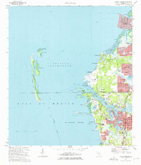
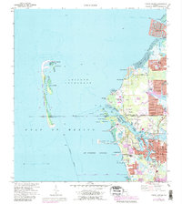
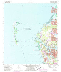
Editions of this 1973 Tarpon Springs Map
4 editions found
Other maps of this area

1943 · Dunedin
USGS Topo · 1:31,680

1943 · Tarpon Springs
USGS Topo · 1:31,680

1943 · Elfers
USGS Topo · 1:24,000

1943 · Oldsmar
USGS Topo · 1:24,000

1944 · Elfers
USGS Topo · 1:31,680

1944 · Oldsmar
USGS Topo · 1:31,680

1948 · Elfers
USGS Topo · 1:25,000

1954 · Port Richey
USGS Topo · 1:24,000

1955 · Plant City
USGS Topo · 1:250,000

1958 · Plant City
USGS Topo · 1:250,000