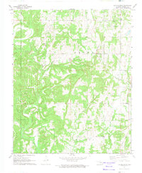
1972 Map of Tate Mountain
USGS Topo · Published 1974About this map
Tate Mountain and the rolling hills of Seminole County define this 1970s landscape, where oil exploration and rural community life are closely intertwined. Numerous Oil Well and Gas Well sites dot the terrain, particularly around the Brown area and near Bird Creek. This industrial footprint exists alongside a network of small, rural institutions that served the local population, including the Buckeye Mission and schools like Justice Sch and New Model Sch. The map preserves the locations of several churches and burial grounds, such as Bethel Ch and Sand Creek Cem, which are vital for genealogical research in this part of Oklahoma. The southern portion of the sheet is dominated by the winding course of the Little River and its confluence with Salt Creek, illustrating the natural drainage patterns that shaped early settlement in the Miller township.
Find a feature on this map
25 named features on this map. Tap any name to fly to it.
Don’t see what you’re looking for? This feature index may not catch every label — zoom into the map to look around manually.
Map Details
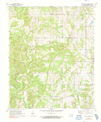
Editions of this 1972 Tate Mountain Map
2 editions found
Other maps of this area

1896 · Seminole and Prague
USGS Topo · 1:125,000

1896 · Coalgate
USGS Topo · 1:125,000

1899 · Coalgate
USGS Topo · 1:125,000

1900 · Wewoka
USGS Topo · 1:125,000

1900 · Coalgate
USGS Topo · 1:125,000

1901 · Stonewall
USGS Topo · 1:125,000

1954 · Oklahoma City
USGS Topo · 1:250,000

1957 · Ardmore
USGS Topo · 1:250,000

1957 · Oklahoma City
USGS Topo · 1:250,000

1958 · Sasakwa
USGS Topo · 1:24,000