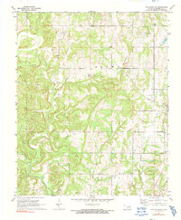
1972 Map of Tate Mountain
USGS Topo · Published 1991About this map
Buckeye Mission and the small settlement of Thomas Town anchor this portion of Seminole County during the early 1970s. The landscape is a patchwork of rural infrastructure and resource extraction, characterized by numerous Oil Wells and a Gas Well scattered across the undulating terrain of Brown Mountain. The area is notably dense with community markers, including several distinct burial grounds like Tate Mountain Cem and Lone Dove Cem, alongside local institutions such as Bethel Ch and the New Model Sch.
Find a feature on this map
28 named features on this map. Tap any name to fly to it.
Don’t see what you’re looking for? This feature index may not catch every label — zoom into the map to look around manually.
Map Details
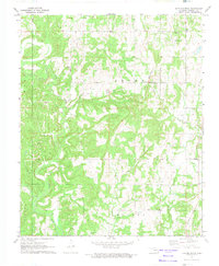
Editions of this 1972 Tate Mountain Map
2 editions found
Other maps of this area

1896 · Seminole and Prague
USGS Topo · 1:125,000

1896 · Coalgate
USGS Topo · 1:125,000

1899 · Coalgate
USGS Topo · 1:125,000

1900 · Wewoka
USGS Topo · 1:125,000

1900 · Coalgate
USGS Topo · 1:125,000

1901 · Stonewall
USGS Topo · 1:125,000

1954 · Oklahoma City
USGS Topo · 1:250,000

1957 · Ardmore
USGS Topo · 1:250,000

1957 · Oklahoma City
USGS Topo · 1:250,000

1958 · Sasakwa
USGS Topo · 1:24,000