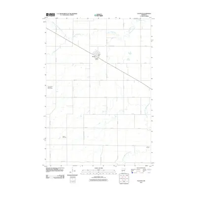
2010 Map of Taunton
USGS Topo · Published 2010About this map
Taunton serves as the central hub of this prairie landscape, where the local economy and community life are defined by the convergence of agricultural land and the shifting paths of the Yellow Medicine River. In the early 21st century, the town's footprint remains compact, marked by the Taunton Post Office and the Old Taunton Catholic Cemetery on its southern edge. The surrounding terrain is heavily influenced by water management and drainage, as seen in the Van Overbeke-Fier Group Structure Dam and the Vernon Mack Dam. These structures, along with the North Branch Yellow Medicine River and the South Branch Yellow Medicine River, illustrate the ongoing effort to navigate the hydrology of the Minnesota plains. Farther afield, the Hemnes Cemetery stands as a quiet marker of early settlement patterns in this rural corner of Lyon County.
Find a feature on this map
30 named features on this map. Tap any name to fly to it.
Don’t see what you’re looking for? This feature index may not catch every label — zoom into the map to look around manually.
Map Details
Editions of this 2010 Taunton Map
This is the sole edition of this map. No revisions or reprints were ever made.
Other maps of this area

1953 · Watertown
USGS Topo · 1:250,000

1953 · New Ulm
USGS Topo · 1:250,000

1957 · New Ulm
USGS Topo · 1:250,000

1958 · New Ulm
USGS Topo · 1:250,000

1958 · Watertown
USGS Topo · 1:250,000

1963 · Gislason Lake
USGS Topo · 1:24,000

1963 · Lynd
USGS Topo · 1:24,000

1963 · Arco
USGS Topo · 1:24,000

1967 · New Ulm
USGS Topo · 1:250,000

1967 · Minneota
USGS Topo · 1:24,000