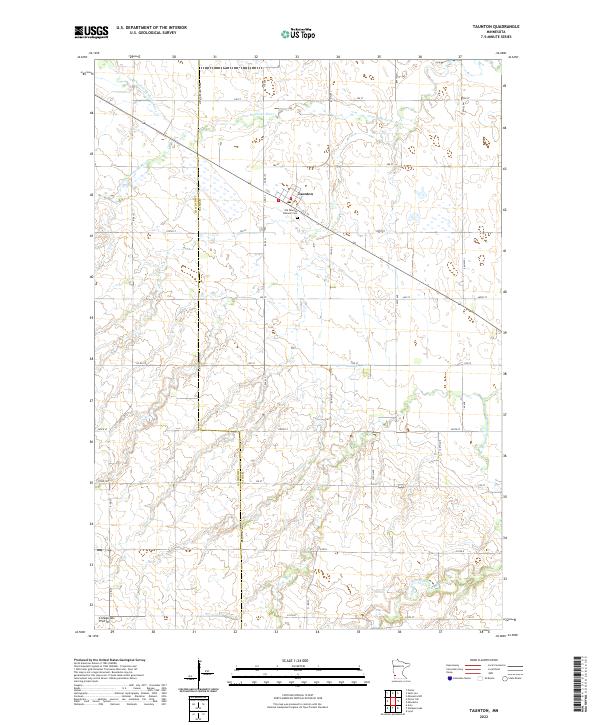
2022 Map of Taunton
USGS Topo · Published 2022About this map
Taunton sits at the center of this agricultural landscape in southwestern Minnesota, positioned along the border where Lyon Co meets Lincoln Co. The town's grid is small but defined, with the Old Taunton Catholic Cem located just to the south. The surrounding terrain is part of the Coteau des Prairies, a high plateau characterized by its subtle elevation changes and glacial history. Drainage for the region is provided by the Yellow Medicine River, which meanders through the northern sections of the map, joined by its tributaries including the N Br Yellow Medicine River. The landscape is dominated by a systematic grid of section-line roads, such as 390 St and 110 Ave, reflecting the enduring township and range surveying system that organized this prairie farmland.
Find a feature on this map
35 named features on this map. Tap any name to fly to it.
Don’t see what you’re looking for? This feature index may not catch every label — zoom into the map to look around manually.
Map Details
Editions of this 2022 Taunton Map
This is the sole edition of this map. No revisions or reprints were ever made.
Other maps of this area

1953 · Watertown
USGS Topo · 1:250,000

1953 · New Ulm
USGS Topo · 1:250,000

1957 · New Ulm
USGS Topo · 1:250,000

1958 · New Ulm
USGS Topo · 1:250,000

1958 · Watertown
USGS Topo · 1:250,000

1963 · Gislason Lake
USGS Topo · 1:24,000

1963 · Lynd
USGS Topo · 1:24,000

1963 · Arco
USGS Topo · 1:24,000

1967 · New Ulm
USGS Topo · 1:250,000

1967 · Minneota
USGS Topo · 1:24,000