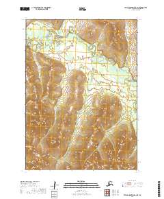
2019 Map of Taylor Mountains B-3 NE
USGS Topo · Published 2019About this map
The Nushagak River winds through this expanse of the Dillingham Census Area, defining the drainage patterns of the western interior. This 2019 survey documents a landscape dominated by complex elevation changes and riverine geography, including the notable path of Burnt Cabin Cr as it flows toward the main river system. The detailed contour intervals reveal the varied upland terrain between the river valleys, providing a precise topographic record of this part of the Taylor Mountains region. The map primarily illustrates the natural hydrography and public land survey divisions, such as t5n r43w and t4n r44w, which organize this largely undeveloped territory for administrative and surveying purposes.
Find a feature on this map
8 named features on this map. Tap any name to fly to it.
Don’t see what you’re looking for? This feature index may not catch every label — zoom into the map to look around manually.
Map Details
Editions of this 2019 Taylor Mountains B-3 NE Map
This is the sole edition of this map. No revisions or reprints were ever made.
Other maps of this area
1950 · Taylor Mountains
USGS Topo · 1:250,000
1951 · Taylor Mountains
USGS Topo · 1:250,000
1954 · Taylor Mountains
USGS Topo · 1:250,000
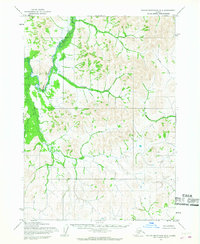
1954 · Taylor Mountains B-2
USGS Topo · 1:63,360
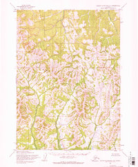
1954 · Taylor Mountains C-3
USGS Topo · 1:63,360
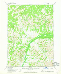
1954 · Taylor Mountains C-2
USGS Topo · 1:63,360
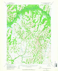
1954 · Taylor Mountains B-3
USGS Topo · 1:63,360
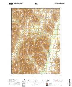
2019 · Taylor Mountains C-2 SW
USGS Topo · 1:25,000
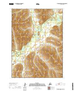
2019 · Taylor Mountains B-3 NW
USGS Topo · 1:25,000
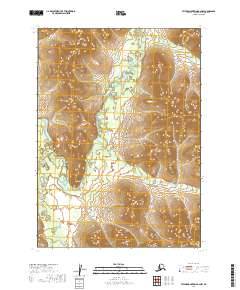
2019 · Taylor Mountains B-2 NW
USGS Topo · 1:25,000