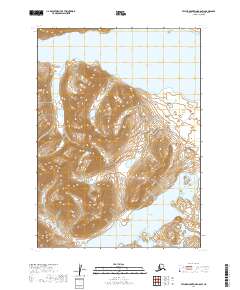
2019 Map of Taylor Mountains B-8 SW
USGS Topo · Published 2019About this map
Upnuk Lake and Chikuminuk Lake dominate this glacial-carved landscape within the Wood-Tikchik region of Southwest Alaska. The map illustrates a section of the Taylor Mountains where steep, high-elevation ridges transition into the expansive basins that hold these large water bodies. Surveyed by the U.S. Geological Survey, the terrain is defined by its dramatic relief and the intricate drainage patterns feeding into the lake systems. The absence of roads or permanent settlements highlights the wilderness character of the Dillingham Census Area, where the land is primarily organized by the Public Land Survey System grid, including segments of t3n r56w and t2n r55w. This document provides a meticulous record of the shoreline geometry and elevation contours that shaped the region's hydrography in the early twenty-first century.
Find a feature on this map
6 named features on this map. Tap any name to fly to it.
Don’t see what you’re looking for? This feature index may not catch every label — zoom into the map to look around manually.
Map Details
Editions of this 2019 Taylor Mountains B-8 SW Map
This is the sole edition of this map. No revisions or reprints were ever made.
Other maps of this area
1950 · Bethel
USGS Topo · 1:250,000
1950 · Taylor Mountains
USGS Topo · 1:250,000
1951 · Taylor Mountains
USGS Topo · 1:250,000
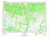
1954 · Taylor Mountains
USGS Topo · 1:250,000
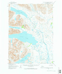
1954 · Taylor Mountains B-8
USGS Topo · 1:63,360
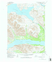
1954 · Taylor Mountains A-8
USGS Topo · 1:63,360
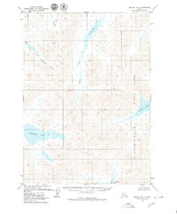
1979 · Bethel B-1
USGS Topo · 1:63,360
1979 · Bethel A-1
USGS Topo · 1:63,360
1980 · Bethel
USGS Topo · 1:250,000
2019 · Bethel B-1 NE
USGS Topo · 1:25,000