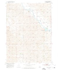
1952 Map of Taylor NW
USGS Topo · Published 1976About this map
The Calamus River winds through the heart of this Loup County landscape, where the sandy hills of the Taylor and Strohl regions meet the river's lowlands. Surveyed in the early 1950s as part of the Department of the Interior's Missouri River Basin development program, the map captures a rural Nebraska environment defined by isolated ranching outposts and small-scale water features. Prominent among these are Upriver Ranch to the north and Holmes Ranch to the south, marking the primary human settlements in this expansive terrain.
Find a feature on this map
10 named features on this map. Tap any name to fly to it.
Don’t see what you’re looking for? This feature index may not catch every label — zoom into the map to look around manually.
Map Details
Editions of this 1952 Taylor NW Map
4 editions found
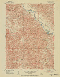
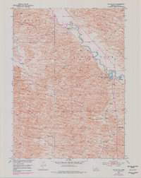
Other maps of this area

1952 · Taylor NW
USGS Topo · 1:24,000

1952 · Almeria NE
USGS Topo · 1:24,000

1952 · Taylor SE
USGS Topo · 1:24,000

1952 · Almeria
USGS Topo · 1:24,000

1952 · Taylor
USGS Topo · 1:24,000

1952 · Taylor NE
USGS Topo · 1:24,000

1955 · Broken Bow
USGS Topo · 1:250,000

1955 · O'Neill
USGS Topo · 1:250,000

1956 · Broken Bow
USGS Topo · 1:250,000

1959 · O'Neill
USGS Topo · 1:250,000