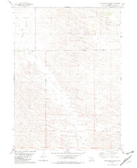
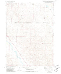
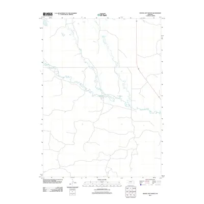
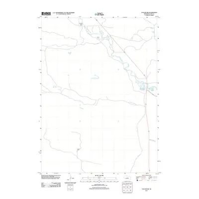
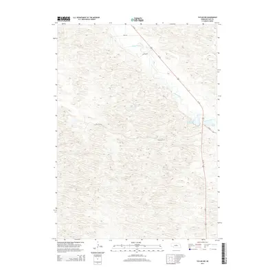
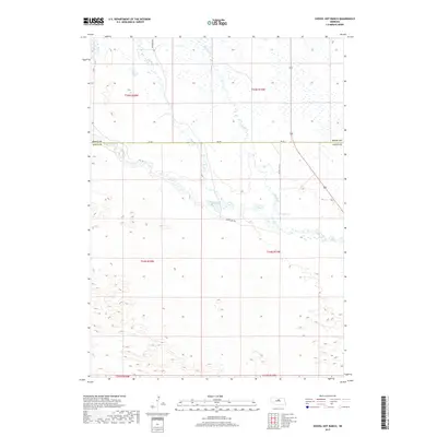
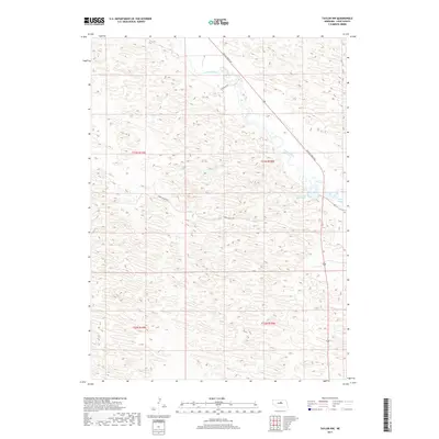
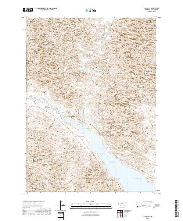
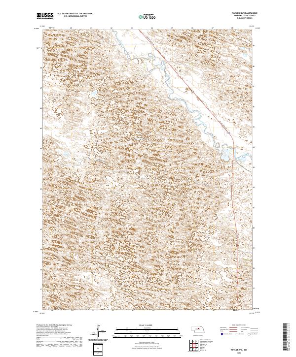
1952 Map of Taylor NW
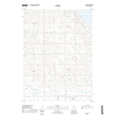
USGS Topo · Published 1978About this map
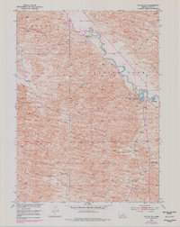
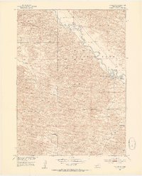
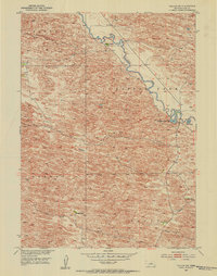
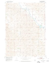
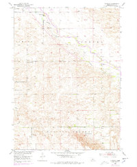
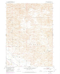
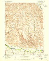
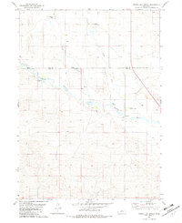
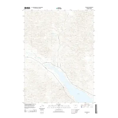
The Calamus River winds through the heart of this Loup County landscape, where the sandhills terrain is organized into distinct local divisions known as Bloody, Little York, Strohl, and Taylor. This 1950s-era topography, updated with revisions from the mid-1970s, reveals a cattle-ranching economy defined by isolated homesteads like Upriver Ranch and Holmes Ranch. The rural social fabric is anchored by the Sebesta Sch in the southeast, serving the families working these expansive tracts. Along the river, hydrological features such as Horseshoe Bend Lake and Mud Bayou indicate a dynamic water system prone to shifting channels. The map provides a detailed view of the Missouri River Basin development era, preserving the locations of windmills and section-line roads essential to Nebraska's high plains history.
Find a feature on this map
11 named features on this map. Tap any name to fly to it.
Don’t see what you’re looking for? This feature index may not catch every label — zoom into the map to look around manually.
Map Details
Editions of this 1952 Taylor NW Map
4 editions found
Historical Maps of Loup County Through Time
40 maps found
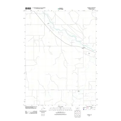
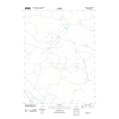
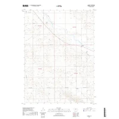
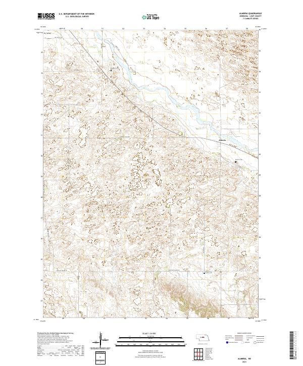
1952 Almeria
Loup County, NE
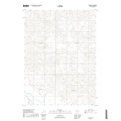
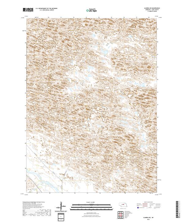
1952 Almeria NE
Loup County, NE

1952 Taylor NE
Loup County, NE
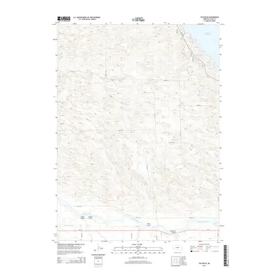
1952 Taylor NW
Loup County, NE
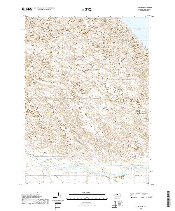
1952 Taylor SE
Loup County, NE
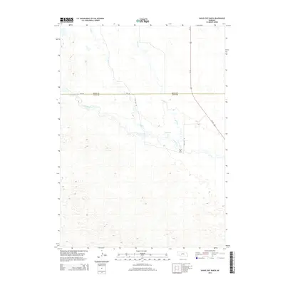
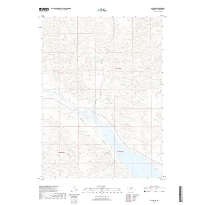
1981 Shovel Dot Ranch
Loup County, NE
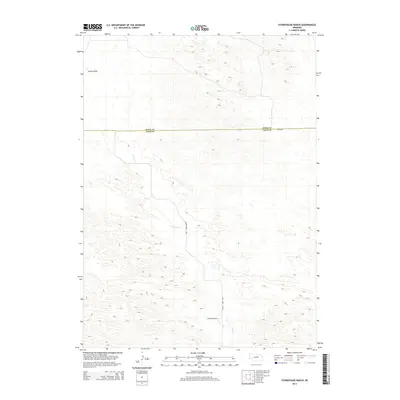
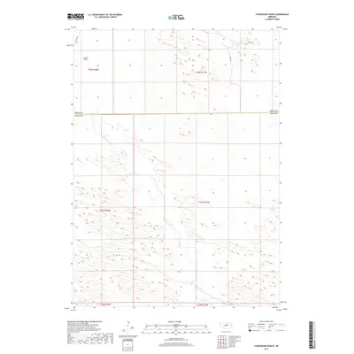
1981 Stonehouse Ranch
Loup County, NE
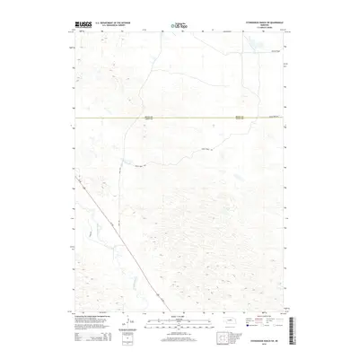
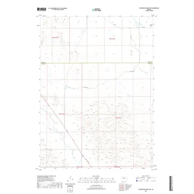
1981 Stonehouse Ranch SW
Loup County, NE
2011 Almeria
Loup County, NE
2011 Almeria NE
Loup County, NE
2011 Shovel Dot Ranch
Loup County, NE
2011 Stonehouse Ranch
Loup County, NE
2011 Stonehouse Ranch SW
Loup County, NE
2011 Taylor NE
Loup County, NE
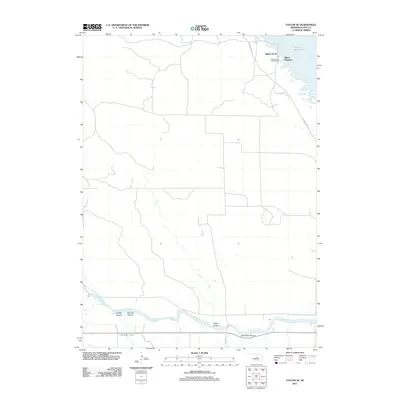
2011 Taylor NW
Loup County, NE
2011 Taylor SE
Loup County, NE
2014 Almeria
Loup County, NE
2014 Almeria NE
Loup County, NE
2014 Shovel Dot Ranch
Loup County, NE
2014 Stonehouse Ranch
Loup County, NE
2014 Stonehouse Ranch SW
Loup County, NE
2014 Taylor NE
Loup County, NE
2014 Taylor NW
Loup County, NE
2014 Taylor SE
Loup County, NE
2017 Almeria
Loup County, NE
2017 Almeria NE
Loup County, NE
2017 Shovel Dot Ranch
Loup County, NE
2017 Stonehouse Ranch
Loup County, NE
2017 Stonehouse Ranch SW
Loup County, NE
2017 Taylor NE
Loup County, NE
2017 Taylor NW
Loup County, NE
2017 Taylor SE
Loup County, NE
2021 Almeria
Loup County, NE
2021 Almeria NE
Loup County, NE
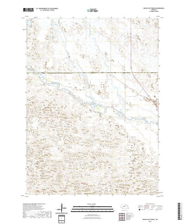
2021 Shovel Dot Ranch
Loup County, NE
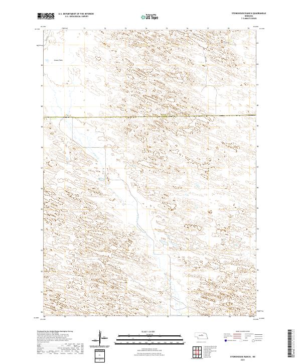
2021 Stonehouse Ranch
Loup County, NE
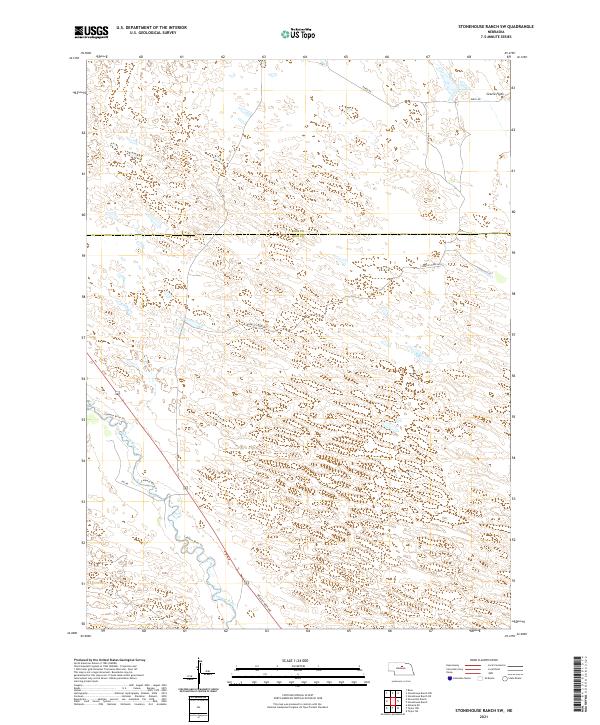
2021 Stonehouse Ranch SW
Loup County, NE
2021 Taylor NE
Loup County, NE
2021 Taylor NW
Loup County, NE
2021 Taylor SE
Loup County, NE